Precision Farming Solutions with Drone Data for Field Mapping and Crop Decisions
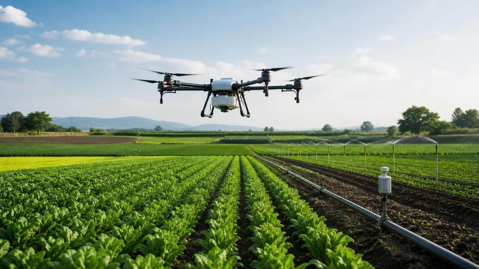




Drone data becomes valuable only when it changes a field decision
Precision farming solutions with drone data are most useful when they reduce uncertainty before a field operation is scheduled. A map showing uneven crop color has little operational value on its own. Its value emerges when the map helps determine whether a problem is caused by water stress, nutrient limitation, compaction, poor emergence, pest pressure, drainage failure, or a machinery-related issue—and when that diagnosis can be converted into a manageable field action.
For large-scale crop operations, the central challenge is not collecting more imagery. It is building a reliable chain from flight planning to field verification, prescription creation, equipment execution, and post-operation review. Breakdowns commonly occur at the handoff points: imagery is captured at the wrong crop stage, a vegetation index is treated as a diagnosis, management zones do not match machine capabilities, or irrigation and spraying teams receive files that their control systems cannot use.
A sound implementation treats drone mapping as a decision-support layer within the operating plan. The drone does not replace agronomic scouting, machinery records, soil information, or irrigation monitoring. It connects these sources at a field-relevant resolution and helps concentrate attention where variation is most likely to affect cost, timing, or yield outcome.
Start with the field decision, not the aircraft or sensor
The required output should define the survey design. A project intended to locate blocked irrigation emitters needs different timing, spatial detail, and ground checks from one designed to identify emergence gaps or estimate lodged crop area before harvest. Selecting a platform because it can generate attractive orthomosaics often leads to data that cannot support the operational decision that matters.
Before a flight program is approved, the responsible team should define five practical items:
- the field decision that will be made from the data;
- the latest point at which the decision remains operationally useful;
- the minimum map resolution needed to distinguish actionable variation;
- the field observations required to confirm the probable cause;
- the equipment, software, and operator that will execute the resulting action.
For example, a vigor map may reveal a low-index strip across a field. If the operation needs to decide whether to apply additional nitrogen, the image alone cannot justify a prescription. The strip may reflect shallow soil, waterlogging, compaction, crop residue, seed-depth variation, or an actual nutrient deficit. The decision workflow must specify who will inspect the zone, what observations or samples are needed, and whether the potential response still fits the crop stage and application window.
This approach also prevents a common planning error: flying every hectare at uniform frequency. High-frequency coverage has a clear role where crop development changes rapidly or irrigation faults must be detected quickly. Elsewhere, targeted flights tied to growth stages, recent weather events, machinery alerts, or known problem fields can provide more usable intelligence with less processing and coordination burden.
Match the data product to the type of variability
Drone-based field mapping can generate several products, but they answer different questions. Confusing them is a major source of weak crop decisions.
RGB imagery is often underestimated because it is visually intuitive and highly effective for operational checks. It can show whether a low-vigor area coincides with a planter pass, a pivot track, a blocked drainage line, a field boundary encroachment issue, or a localized weed patch. In many cases, that contextual evidence is more useful for immediate action than an index map alone.
Multispectral data becomes more valuable where the crop canopy has developed enough to create meaningful reflectance differences and where the operation can compare the current map with field history, soil layers, planting records, or prior observations. Normalized Difference Vegetation Index (NDVI) and related indices are indicators of canopy response, not direct measures of fertilizer need. A high or low value should be interpreted relative to crop stage, variety, row closure, background soil exposure, sun angle, and the reference conditions within that field.
Thermal surveys demand still more discipline. Canopy temperature can be influenced by irrigation performance, plant water use, wind, humidity, cloud conditions, soil exposure, and time of day. Thermal data can be a strong prioritization tool for checking water-delivery performance, especially when integrated with irrigation-zone layouts and pressure or flow records. It should not be treated as a standalone command to increase water application.
Field mapping needs positional control that fits the action scale
A map can look spatially accurate while still being insufficiently reliable for prescription work. This distinction matters when a boundary between treatment zones is used to control a spreader, sprayer, seeder, or irrigation adjustment. If image alignment shifts between surveys, an apparent change in crop condition may be a mapping artifact rather than a biological change.
For routine visual scouting, standard onboard positioning may be adequate if the map is used to guide a person to a broad area. For repeat monitoring, drainage design, earthwork assessment, plot comparisons, or variable-rate operations, the positional workflow needs closer attention. Real-time kinematic positioning or post-processed kinematic correction can improve georeferencing, but they do not automatically guarantee an accurate deliverable. Flight altitude, image overlap, terrain, ground control, calibration, processing settings, and the quality of the base reference all influence the final map.
The required positional accuracy should be defined by the smallest meaningful management unit, not by a generic claim about drone accuracy. A 20-meter management zone does not require the same control discipline as a one-meter drainage feature or a narrow strip trial. Conversely, an operation should avoid generating management zones so small that machinery booms, turn compensation, valve response, or operator workload make the prescription impossible to execute.
Map boundaries should also respect field geometry and operating constraints. A zone map made from irregular pixel clusters may represent real variation, yet be impractical for machinery. Zones often need smoothing, minimum-area rules, exclusion buffers, and alignment with travel direction, irrigation blocks, or existing tramlines. This is not a loss of precision; it is the conversion of observational precision into executable precision.
Ground truth is the control point between imagery and crop action
The most consequential error in drone-supported agronomy is acting on an image pattern as if it identified the cause. A disciplined field verification process protects against that error.
Verification should compare contrasting locations: a representative low-response area, a representative high-response area, and, where useful, a transition zone. The purpose is not merely to confirm that the map is correct. It is to determine why the field differs. Observations may include plant population, growth stage, rooting depth, leaf symptoms, soil moisture, compaction indicators, residue distribution, disease signs, weed species, irrigation uniformity, and evidence from equipment logs.
Field notes must remain spatially linked to the map. A photograph without coordinates, a verbal observation recorded after the visit, or a sample with unclear location weakens the evidence chain. Mobile forms that capture coordinates, time, observer, field condition, and recommended follow-up can be sufficient. The key requirement is consistency: later decisions need to distinguish a confirmed cause from an initial hypothesis.
Where laboratory sampling is necessary, sampling design should follow the identified zones rather than convenience. A composite sample collected across both high- and low-vigor areas can mask the very contrast that drone mapping was intended to investigate. At the same time, dividing a field into too many micro-zones can produce sampling costs and analytical noise without improving the treatment decision.
Turning maps into machinery and irrigation tasks
The operational handoff is where many precision programs lose value. A drone platform may export a shapefile, raster, PDF, or web map, while the intended equipment may require a different format, projection, attribute structure, controller import method, or prescription logic. Compatibility should be tested before the crop-critical period, not when an application window is closing.
For variable-rate application, the workflow should establish the link between the management-zone map and the rate table. Each zone requires an unambiguous identifier, a rate unit, a product reference, and a boundary treatment rule. The prescription must also be reviewed against machine capability: minimum controllable rate, section width, boom response time, speed variability, bin or tank capacity, and the risk of overlap at short zone transitions.
A prescription that asks for frequent sharp rate changes may be technically valid in a GIS environment but operationally unstable in the field. If the controller cannot respond before the machine exits a zone, the recorded as-applied map may differ materially from the intended treatment. Rate design should therefore account for machine dynamics, not only crop maps.
In irrigation, drone data is often more effective for prioritizing inspections and identifying zones for closer review than for directly controlling water delivery. A thermal anomaly aligned with a particular irrigation block can trigger a check of pressure, filtration, valve operation, emitter condition, pivot package performance, or soil-water measurements. Where an irrigation system supports zone-level control, the adjustment should be based on a combination of aerial patterns, system telemetry, soil conditions, crop stage, and water-allocation constraints.
Drone-derived elevation models can also support irrigation and drainage planning by showing flow paths, depressions, and areas vulnerable to ponding. Yet surface elevation does not replace hydraulic design. Infiltration variability, pipe capacity, field outlets, subsurface conditions, and local design requirements remain decisive.
Time is a project constraint, not a data-processing detail
Crop decisions lose value rapidly when mapping, processing, review, and field action are separated by too many days. The relevant measure is not flight duration; it is decision latency: the time from identifying a need for information to completing the field response.
A practical operating plan should set deadlines for each handoff. This includes mission authorization, weather confirmation, flight completion, data upload, processing, quality review, agronomic interpretation, field verification, prescription approval, equipment loading, and as-applied record capture. The process does not need to be complex, but responsibility at each handoff should be clear.
Weather can disrupt both data collection and interpretation. Wind affects flight stability and image quality. Changing light conditions can complicate comparisons among flights. Rain, dust, and wet foliage can delay access for ground verification. Thermal surveys are especially sensitive to atmospheric and time-of-day conditions. A resilient program includes alternative survey windows and distinguishes between data that is essential for an immediate decision and data that can wait for a more suitable acquisition condition.
Seasonal timing also shapes usefulness. Early-season mapping may support replanting assessments, emergence checks, and planter-performance investigations. Mid-season surveys can identify variation for targeted inspection or in-season management where intervention remains feasible. Pre-harvest mapping may help assess lodged zones, field access, crop maturity variation, and harvest logistics. The same imagery captured outside the decision window may be informative but no longer actionable.
Data governance and flight compliance should be settled before deployment
Drone operations involve more than sensor and software selection. Airspace permissions, pilot qualifications, operating limitations, privacy obligations, insurance conditions, and land-access arrangements depend on the jurisdiction and mission profile. Requirements can differ materially between countries and may also vary according to aircraft weight, visual-line-of-sight conditions, proximity to airports, use of observers, and whether operations occur near populated areas.
Project controls should specify who may authorize a flight, where compliance records are stored, how incident reporting is handled, and how third-party service providers demonstrate their operating credentials. Contractors should also define deliverable ownership, raw-image retention, processing responsibility, coordinate reference systems, and the right to reuse or share field data.
Data quality governance matters as much as legal compliance. A map should retain basic metadata: capture date and time, sensor type, flight altitude, processing method, coordinate system, calibration approach where relevant, and known limitations. Without this information, comparing maps across dates or contractors can become unreliable. Version control is particularly important when a map is edited into management zones and then converted into a machine prescription.
Measure performance through decisions executed, not hectares flown
The useful performance indicators for drone-enabled precision farming are linked to operational outcomes. Examples include the share of mapped anomalies that received field verification, time from detected issue to inspection, percentage of prescriptions successfully imported and executed, difference between planned and as-applied treatment, irrigation faults confirmed after aerial prioritization, and recurrence of the same issue in subsequent maps.
Yield maps, input records, irrigation logs, and machine telemetry can provide the feedback needed to improve zone design over time. They should be interpreted carefully: a yield difference does not automatically prove that a drone-informed intervention caused the result. Weather, soil differences, crop history, application timing, machinery performance, and other factors may have contributed. The more important question is whether the workflow consistently improved the quality and timeliness of field decisions.
The strongest precision farming solutions with drone data are therefore not defined by the most sophisticated sensor or the most detailed map. They are defined by a repeatable operating system: clear decision triggers, fit-for-purpose data capture, verified interpretation, executable prescriptions, reliable machinery integration, and records that show what was actually done. When those links are in place, aerial data can move from visual reporting to a practical control layer for field mapping, crop interventions, irrigation oversight, and seasonal resource planning.
Related News
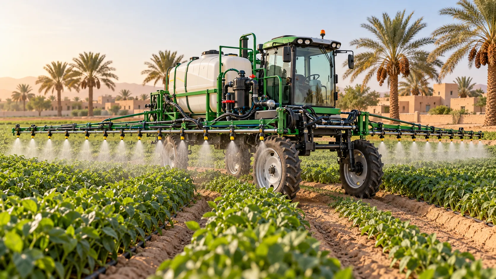
Choosing Crop Protection Equipment for Hot, Windy Middle Eastern Farms
Compare crop protection equipment Middle East farms need for hot, windy conditions. Discover key nozzle, drift-control, and durability checks to choose the right sprayer.
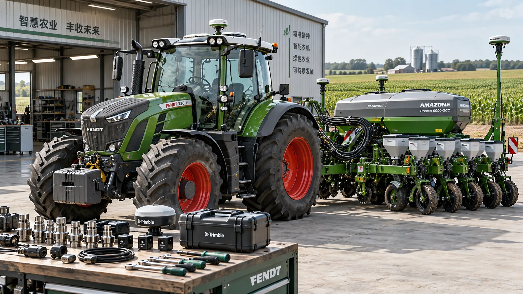
Choosing an Agriculture 4.0 Supplier: Compatibility, Support, and Total Cost
Choose an Agriculture 4.0 supplier with confidence. Learn how to verify compatibility, assess support, and compare total ownership costs to avoid hidden fees and costly downtime.
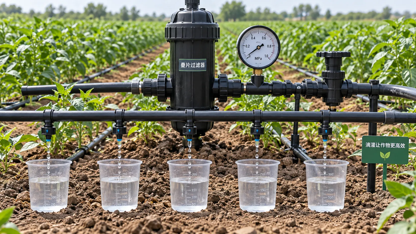
Low-Pressure Drip Irrigation: How to Fix Uneven Watering Without Raising Pressure
Optimize low pressure water-saving irrigation systems: discover how to fix uneven watering, clear blockages, and reduce hydraulic losses without raising supply pressure.
Comparing Farm Equipment Supplier Quotes: Price, Freight, and Warranty
Simplify supplier comparison for farm equipment price: assess freight, field-ready costs, and warranty coverage. Learn how to avoid hidden charges and choose a reliable supplier.
Choosing a Digital Farming Platform Provider: Compatibility and Data Ownership
Compare digital farming platforms providers on equipment compatibility, data ownership, and export rights. Discover practical checks to avoid lock-in and choose with confidence.
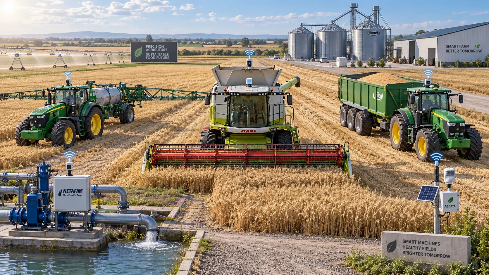
How Large-Scale Farm Telematics Cuts Downtime Across Mixed Fleets
Large-scale farm equipment telematics cuts mixed-fleet downtime with real-time alerts, smarter maintenance, and stronger operational control. Learn how to protect critical farm workflows.
How to Size Low-Pressure Water-Saving Irrigation Systems for Uneven Fields
Low pressure water-saving irrigation systems for uneven fields: learn zoning, pressure mapping, pipe sizing, and pump selection to improve uniformity and reduce water waste.
Farm Machinery Sourcing: How to Vet Suppliers, Specs, and Lifecycle Costs
Farm machinery information for sourcing: learn to vet suppliers, compare specifications, control lifecycle costs, and secure reliable uptime for smarter equipment purchases.
How telemetry for agriculture helps identify equipment downtime
Telemetry for agriculture helps detect early warning signs, prioritize maintenance, and reduce costly equipment downtime before field operations are disrupted.
Related News
- 00
0000-00
How to Evaluate Dynamic Feedback Algorithm Suppliers for Precision Farming Systems - 00
0000-00
How Sensor Feedback Enables Accurate Variable-Rate Fertilization in Field Conditions - 00
0000-00
How to Select Precision Crop Protection Equipment for Variable Field Conditions - 00
0000-00
How to Evaluate Precision Fertilization System Suppliers for Farm-Scale Deployment - 00
0000-00
How to Select a Precision Fertilization System for Variable Corn Field Conditions
Popular Tags
Tractor Power Architect
Weekly Insights
Stay ahead with our curated technology reports delivered every Monday.