How Precision Agriculture Improves Water Management with Sensors, GPS, and VRT




Start with the water problem, not the hardware list
For technical evaluators, precision agriculture for water management has moved out of the concept stage. The question is no longer whether sensors, GPS, and variable rate technology can help. The real question is whether the system in front of you can turn uneven field conditions into irrigation decisions that are accurate, repeatable, and worth operating at scale.
That means your checklist should begin with a practical distinction: are you trying to solve water shortage, application inconsistency, runoff risk, energy waste, or weak irrigation timing? Many projects get stuck because teams evaluate devices one by one and never define the decision the system is supposed to improve. A moisture probe does not save water by itself. A GPS layer does not correct poor scheduling by itself. VRT is only useful when the prescription map reflects a real agronomic difference and the machine can apply it correctly.
If the target is vague, the evaluation becomes vague too. Start by writing down three things: the irrigation method already in use, the field variability that matters most, and the control point where an operator or controller can actually change water delivery.
Check whether field variability is real enough to justify precision control
This is where a lot of overdesigned projects begin. Not every field needs a highly segmented irrigation strategy. If soil texture, rooting depth, slope, infiltration behavior, and crop response are fairly uniform, a simpler scheduling approach may outperform a complicated sensor network that adds maintenance and data noise.
A technical review should look for variability that changes water demand or water movement in a measurable way. Typical triggers include:
- contrasting soil zones that hold water differently;
- elevation changes that affect runoff or pressure distribution;
- parts of the field with different stand density or crop vigor;
- irrigation equipment that already applies unevenly across spans, blocks, or laterals.
If those differences are visible only on a map but not in water balance, yield stability, or plant stress, be careful. Precision layers can look convincing and still add no operational value.
Evaluate sensors by placement logic, not by headline capability
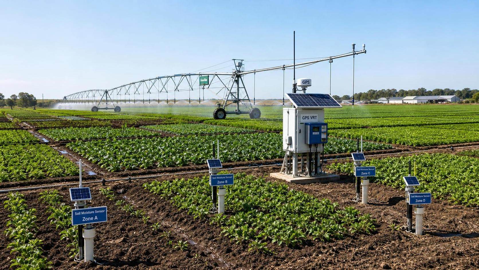
Sensor specifications matter, but placement discipline matters more. A high-quality sensor installed in a non-representative location becomes an expensive source of wrong confidence. In water management, the placement question is simple: does the sensor sit where root-zone conditions actually drive irrigation decisions?
Look at depth selection first. A shallow reading may react quickly to irrigation or evaporation, but it can miss deeper depletion. A deep reading alone can hide near-surface stress during critical growth stages. Evaluators should check whether the installation depth matches crop rooting behavior and the intended scheduling window.
Then check zoning. One sensor station per field is often treated as a cost-saving compromise, but it only works when the field behaves as one irrigation unit. If management zones are already defined from soil, yield, conductivity, or topographic data, sensor locations should correspond to those zones. Otherwise the system is mixing apples and oranges and calling it precision.
Common failure points show up quickly:
- probes placed too close to emitters, wheel tracks, or unusual wet spots;
- sensors installed without a clear link to irrigation zones;
- data used without checking drift, calibration method, or communication gaps;
- temperature, salinity, or soil-contact issues ignored during interpretation.
A workable system does not need every possible sensor type. It needs enough trustworthy inputs to support a scheduling decision without forcing the operator to guess which reading is wrong.
Make sure the GPS layer is usable for irrigation, not just for mapping
GPS earns its place in water management when location data improves control. That can mean aligning moisture readings to stable management zones, mapping pressure or application inconsistencies, georeferencing stress patterns, or guiding variable-rate irrigation on center pivots and other controllable systems.
The key check is positional usefulness. Ask whether the mapping accuracy is sufficient for the control action being taken. A broad zone-based irrigation plan does not require the same positional precision as nozzle-level or sector-level control. Technical evaluators should also verify that boundaries, irrigation zones, and historical layers use the same coordinate reference and are updated after field reconfiguration. Old field edges and new prescriptions are a quiet source of bad applications.
Another practical test: can the GPS-linked data be turned into a prescription without manual cleanup every time? If technicians are spending hours correcting overlaps, broken polygons, or mismatched layers, the workflow is not production-ready.
Do not approve VRT until the prescription logic is defensible
Variable rate technology sounds precise because the machine can change output by zone or position. That is only half the job. The other half is whether the prescription itself reflects agronomic reality and hydraulic capability.
A good review asks four plain questions:
- What data layers were used to build the irrigation prescription?
- How recent are those layers relative to current field conditions?
- Can the irrigation system physically deliver the commanded rate changes?
- How is application performance checked after the pass or irrigation cycle?
This is where technical evaluators often need to slow the conversation down. Prescription maps built from stale satellite imagery, generalized soil surveys, or one-off scouting notes can still look polished on screen. But if the crop stage changed, a storm reset the profile, or infiltration conditions shifted, the map may no longer represent the water decision you need to make.
Also check machine response time. On some systems, the commanded change is faster than the hydraulic or mechanical system can stabilize. In practice, that creates a sharp map and a blurred application.
Review the full data chain before judging agronomic value
Water management decisions fail as often in data handling as they do in the field. The useful question is not whether the platform collects data. Nearly all of them do. The useful question is whether the data chain preserves enough integrity to support irrigation action on time.
If the platform cannot retain and export those records cleanly, long-term evaluation becomes guesswork. That is a problem for technical teams, and it is also a problem for anyone comparing sites, seasons, or equipment configurations.
Separate water-saving claims from true water control
A lot of systems are marketed around saving water. That is not the same as controlling water well. In technical terms, the better test is whether the system reduces avoidable over-application and under-application while keeping crop stress within acceptable limits for the production goal.
For example, a system that cuts irrigation volume by extending intervals may look efficient on paper, but if it pushes part of the field into repeated stress because zone differences were ignored, that is not good water management. The opposite also happens: teams chase perfect uniformity and end up applying more water than needed because they are compensating for weak zoning with extra runtime.
The review standard should be operational: does the combined use of sensors, GPS, and VRT improve timing, placement, and responsiveness? If yes, water savings may follow. If not, the claimed efficiency is probably coming from a different factor, such as reduced acreage, weather change, or revised crop plans.
Match the precision stack to the irrigation system already on the farm
This sounds obvious, but it gets overlooked in evaluations pushed by technology vendors or internal enthusiasm. Precision agriculture for water management behaves very differently across center pivots, drip systems, solid-set systems, and surface irrigation. The decision speed, controllable resolution, and failure modes are not the same.
With pivot irrigation, the technical focus often lands on zone control, travel speed, pressure consistency, and whether VRT commands correspond to actual sectors and nozzle packages. In drip systems, the bigger issues may be emitter performance, filtration discipline, pressure variation, and how sensor feedback translates into block scheduling rather than highly granular on-the-fly rate changes. If the evaluation ignores those physical limits, the digital design may be elegant and still unusable in the field.
Inspect the operator workflow before signing off
A technically sound system can still fail because the daily workflow is too brittle. Evaluators should trace the real sequence from data capture to irrigation action. Who reviews the sensor readings? Who approves the prescription? Who loads it into the controller? What happens when communication drops, a probe goes offline, or field conditions change after a rainfall event?
Look for manual steps that create delay or invite silent errors. The classic ones are spreadsheet transfers, renamed files, operators using outdated maps, and irrigation events executed without feedback from the latest field data because no one had time to reconcile it. Precision systems are often judged on algorithm quality when the real weakness is process discipline.
What to verify before calling the system ready
Before approval, the checklist should end with a short readiness test rather than another round of feature review.
- The farm has clear irrigation zones based on real field behavior, not just convenient map shapes.
- Sensors are installed at representative depths and locations tied to those zones.
- GPS-based layers align with current field boundaries and the controller’s operating logic.
- VRT prescriptions can be traced back to current, relevant data inputs.
- The irrigation system can physically execute the planned rate changes or timing adjustments.
- Applied water records can be compared with planned actions and field response.
- Operators can run the workflow without ad hoc fixes every cycle.
That is usually enough to separate a serious precision irrigation setup from a stack of disconnected tools. Evaluate the field logic first, then the data quality, then the machine response. In that order, sensors, GPS, and VRT become more than add-ons. They become a control system for water, which is what the farm actually needs.
Related News
How to Evaluate Agricultural Product Information Sources for Reliable Farm Decisions
Agricultural product information reference guide: evaluate reliable farm data, verify claims, and make smarter machinery, irrigation, and crop decisions.
Farm Machinery Guide: Matching Tractor Horsepower and Implements to Farm Size
Farm machinery guide for tractors: match horsepower, implement width, hydraulics, traction, and fleet capacity to farm size for lower costs and reliable field performance.
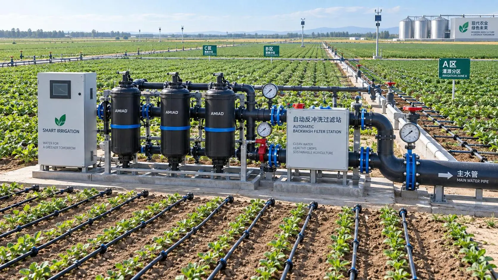
How to Evaluate Drip Irrigation System Manufacturers for Large Farm Projects
Drip irrigation systems manufacturer evaluation guide for large farms: compare hydraulic design, filtration, quality control, scalability, delivery, and support.
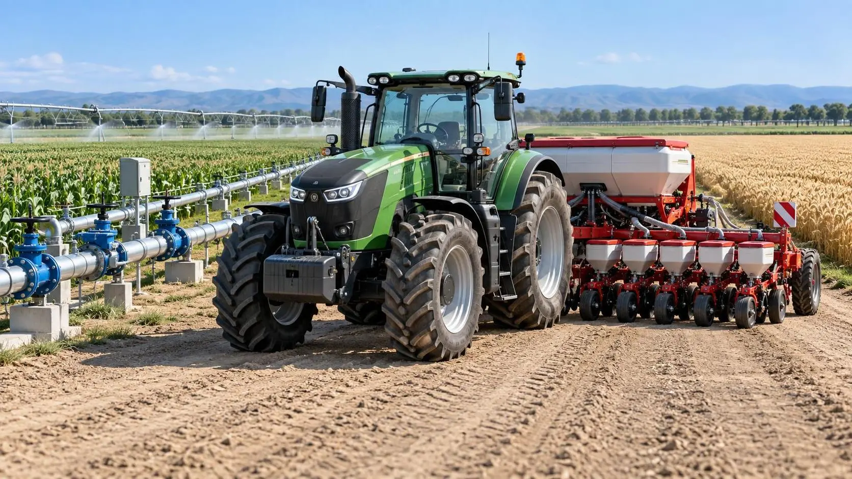
Specification Planning: A Practical Framework for Defining Equipment Requirements
Application guidance for specification planning: define measurable equipment requirements, prioritize performance, and avoid costly procurement mistakes.

How North American Farms Can Select Crop Monitoring Systems by Acreage and Connectivity
Crop monitoring systems North America: learn how to match acreage, connectivity, sensors, and data workflows for reliable, actionable farm decisions.

Where to Find Reliable Product Information for Comparing Farm Equipment
Product information resources agriculture buyers can trust: compare farm equipment with technical specs, manuals, field data, dealer support, and lifecycle insights.
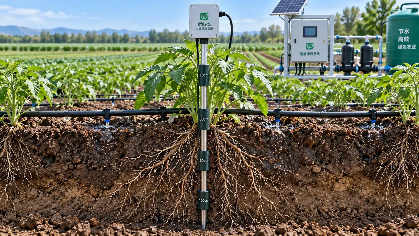
Selecting Real-Time Soil Moisture Sensors for Irrigation Zone Control
Soil moisture sensors real time: learn how to select reliable probes, optimize zone control, improve irrigation decisions, and scale precision water management.
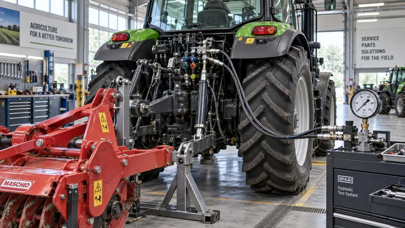
Tractor Hydraulic Systems Troubleshooting: Diagnosing Weak Lift and Slow Implements
Tractor hydraulic systems troubleshooting made practical: diagnose weak lifts and slow implements with proven pressure, flow, valve, and oil-supply checks.
How Tractor Intelligence Systems Improve Field Efficiency and Input Accuracy
Agricultural machinery intelligence for tractors improves field efficiency, input accuracy, data traceability, and implement control. Explore smarter evaluation strategies.
Related News
- 00
0000-00
Precision Farming Solutions with Drone Data for Field Mapping and Crop Decisions - 00
0000-00
Precision Farming Systems for Yield Mapping: Key Technologies and Field Applications - 00
0000-00
How to Validate Precision Farming Algorithm Accuracy Before Field Deployment - 00
0000-00
How to Evaluate Precision Fertilization Equipment for Latin America Farms - 00
0000-00
How Precision Agriculture Improves Water Management with Sensors, GPS, and VRT
Popular Tags
Tractor Power Architect
Weekly Insights
Stay ahead with our curated technology reports delivered every Monday.