
How RTK Satellite Positioning Improves Accuracy in Precision Farming Operations
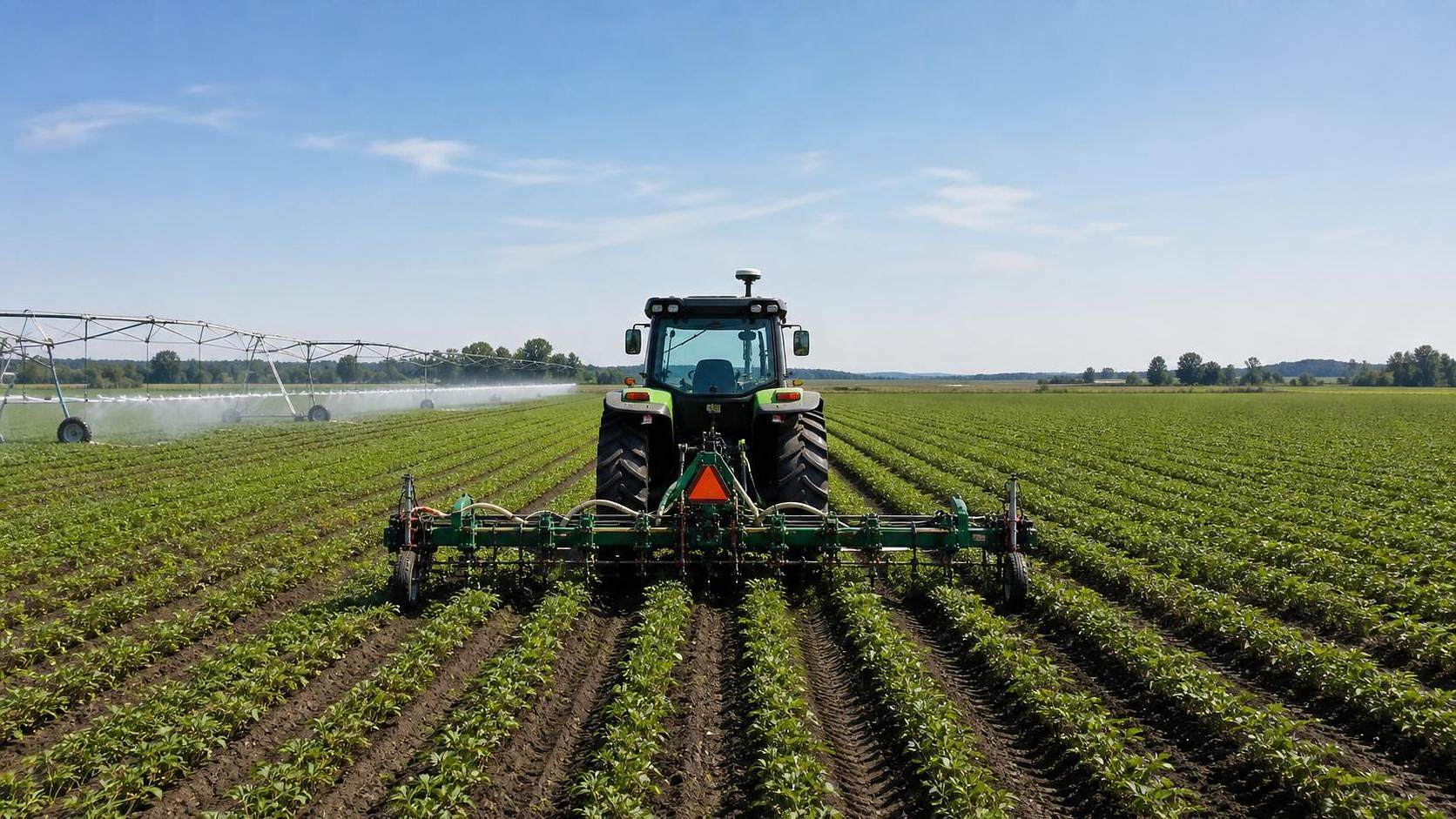




How RTK Satellite Positioning Improves Accuracy in Precision Farming Operations
For technical evaluators in modern agriculture, RTK satellite positioning is no longer just a navigation upgrade. It is one of the few technologies in precision farming that can be checked against field results with very little romance around it. Either the machine holds line, repeatability stays stable, overlaps shrink, and task maps remain usable, or it does not. That is why RTK satellite positioning has moved from “nice to have” into the core of equipment assessment for planters, sprayers, harvesters, autonomous platforms, and intelligent irrigation systems.
If you are reviewing a machine or a system package, the practical question is not whether RTK sounds advanced. The question is whether the positioning layer is good enough for the specific job, field layout, correction source, and operating conditions. The checklist below is written from that angle: what to verify before you call an RTK setup truly useful in farm operations.
Start with the task, not the brochure
A common evaluation mistake is to treat all centimeter-level claims as equal. They are not. In precision farming, accuracy only matters in relation to the agronomic task.
- For strip-till, row crop planting, controlled traffic farming, and repeat-pass cultivation, lateral repeatability matters more than a generic “high precision” label.
- For spraying, the real gain often shows up in reduced overlap and cleaner section control performance, especially on irregular headlands.
- For harvest, RTK may not always change cutting performance directly, but it improves guidance stability, machine traffic consistency, and the value of georeferenced yield data.
- For irrigation equipment with geospatial control logic, positioning quality affects where water is applied and how reliably management zones align with field plans.
If the supplier cannot explain which field operation benefits from RTK and how the benefit should be measured, the conversation is still at marketing level.
Check the correction source before judging machine accuracy
RTK satellite positioning depends on more than the receiver on the cab roof. The correction path is part of the system. In practice, evaluators should confirm whether the machine runs on a local base station, a dealer-operated RTK network, or an NTRIP-based correction service delivered over cellular data.
Each option creates a different risk profile. Local base stations can work very well, but they need disciplined setup, stable coordinates, and maintenance. Network RTK reduces some of that burden, but service quality depends on coverage, station density, and mobile connectivity. If a vendor only quotes theoretical accuracy without describing the correction environment, that number has limited value.
Ask for the field conditions under which the claimed performance was validated. Was it open sky? Rolling terrain? Tree-lined parcels? Border fields with weak mobile coverage? Those details matter more than a polished spec sheet.
Do not confuse pass-to-pass accuracy with repeatability over time
This is where many purchasing discussions drift off course. In planting and later-season operations, the machine may need to return to the same line days, weeks, or months later. That is not the same thing as steering well during one afternoon test.
Technical evaluators should separate three questions:
- How stable is the line during a single pass?
- How consistent is the next pass under normal operating speed and implement load?
- Can the system return to the same reference line in a later operation without visible row drift?
For row crops, repeatability is often the deciding factor. A system that looks acceptable on a demo day but fails to preserve alignment between planting and side-dress or between planting and mechanical weeding will create downstream problems that are expensive to correct.
Verify the full guidance chain, not just the GNSS receiver
RTK satellite positioning can only deliver field accuracy if the rest of the machine can follow it. On heavy tractors, self-propelled sprayers, and combines, steering valve response, wheel angle sensing, chassis dynamics, hydraulic latency, and implement draft all influence actual path tracking.
This is especially important when evaluating tractor chassis and high-capacity equipment, which AP-Strategy readers often care about. A premium RTK signal paired with a slow or poorly tuned autosteer system will still produce boundary creep, headland wobble, and row departure under load. In other words, the signal can be right while the machine path is wrong.
In field checks, watch what happens when speed changes, the implement enters variable soil resistance, or the machine exits a turn. That is where weak integration shows up.
Look at implement-level offsets and calibration discipline
A surprising number of “RTK accuracy problems” are really setup problems. Receiver offsets, antenna height, implement hitch geometry, tool centerline, and section control timing all need to be calibrated correctly. If the implement trails, flexes, or shifts laterally, the correction workflow needs to reflect that.
For evaluators, this means two separate checks. First, confirm that the system provides a structured calibration process rather than expecting operators to estimate offsets in the cab. Second, check whether those settings are preserved, traceable, and easy to verify after implement changes. A machine that is accurate only when one experienced technician sets it up is not robust enough for many fleets.
Measure whether RTK actually reduces agronomic waste
The value of RTK satellite positioning should show up in farm metrics, not just positioning logs. In spraying, check overlap reduction at wedges and boundaries. In planting, compare row spacing consistency and headland alignment. In fertilizer application, evaluate whether application zones match prescription intent without visible offset. In irrigation-linked field operations, verify that water management zones, soil maps, and machine paths are aligned closely enough to support decision-making.
Be careful with blanket ROI claims. Savings depend on field shape, implement width, operator skill, and how often repeat passes are required. If no baseline exists, ask for side-by-side operational records or controlled field validation. If those records are unavailable, mark any productivity claim as 【待核实】 rather than treating it as proven.
Watch for signal resilience in real field conditions
Open-field demos flatter most systems. The harder question is what happens when conditions are imperfect. Tree lines, shelterbelts, terrain breaks, grain handling infrastructure, and weak mobile networks can all disturb correction continuity or satellite reception.
The practical checks are straightforward:
- How quickly does the system regain fixed RTK status after interruption?
- What fallback mode is used if correction data drops out?
- Does the interface clearly show solution status, or does it hide degradation until the operator sees row shift?
- Can the guidance and task controller log these events for later review?
For evaluators responsible for standards and procurement, these resilience details often matter more than peak accuracy figures.
Check interoperability with the rest of the precision stack
RTK works best when it is part of a larger data system. Guidance lines, field boundaries, section control maps, yield layers, prescription files, and machine logs need to stay spatially consistent across brands and seasons. If the positioning layer is locked into a proprietary workflow that does not exchange data cleanly, the agronomic benefit gets diluted fast.
This is where technical reviewers should ask about supported interfaces and practical compatibility. If ISOBUS is claimed, confirm what functions are actually implemented in the field rather than assuming full compatibility from the label alone. If boundary files and task data are moved between platforms, test the transfer path. Minor coordinate mismatches become major problems when multiple machines share controlled traffic lanes or return to the same crop rows.
Separate equipment capability from operator burden
A technically capable RTK system can still fail in daily use if operators cannot manage it reliably. Look at how many steps are required to connect to corrections, verify fixed status, select the right field, load the correct guidance line, and confirm implement offsets. If the process is fragile, errors will accumulate during the busiest windows of the season.
Experienced farm managers usually know this already: the harvest week interface matters as much as the engineering diagram. A system that needs constant dealer support may be acceptable for a flagship demo fleet, but it is harder to justify for distributed operations across multiple regions.
Document how accuracy is being validated
When RTK satellite positioning is part of a formal technical assessment, build a repeatable validation routine. It does not need to be theatrical. It needs to be consistent.
That record becomes useful later when comparing tractors, sprayers, combine guidance packages, or integrated tool systems from different suppliers.
The practical bottom line
RTK satellite positioning improves accuracy in precision farming operations when the entire chain is sound: correction source, receiver quality, machine guidance response, implement calibration, data interoperability, and operator workflow. When all of that is in place, the results are visible in the field: cleaner passes, more reliable repeatability, tighter spatial data, and less waste hidden inside overlaps and misalignment.
For technical evaluators, the best habit is simple. Treat RTK as an operational system, not a standalone feature. Ask how it behaves in real crop work, under real connectivity limits, with real implement dynamics. That is usually where the difference appears between a positioning package that looks precise and one that actually supports precision agriculture.
Related News
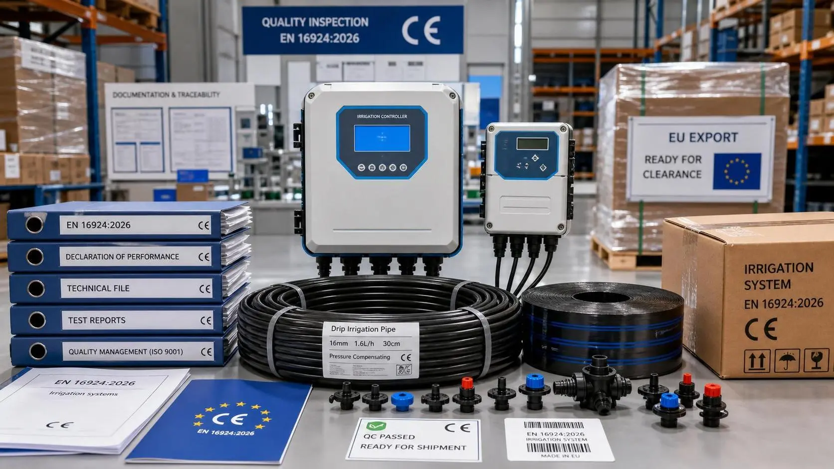
EU Rule Takes Effect: EN 16924:2026 for Drip Irrigation Logic
EN 16924:2026 now reshapes EU access for Drip Irrigation Logic products. Learn how certification, CE marking, customs, and warehouse risks impact exporters and buyers.
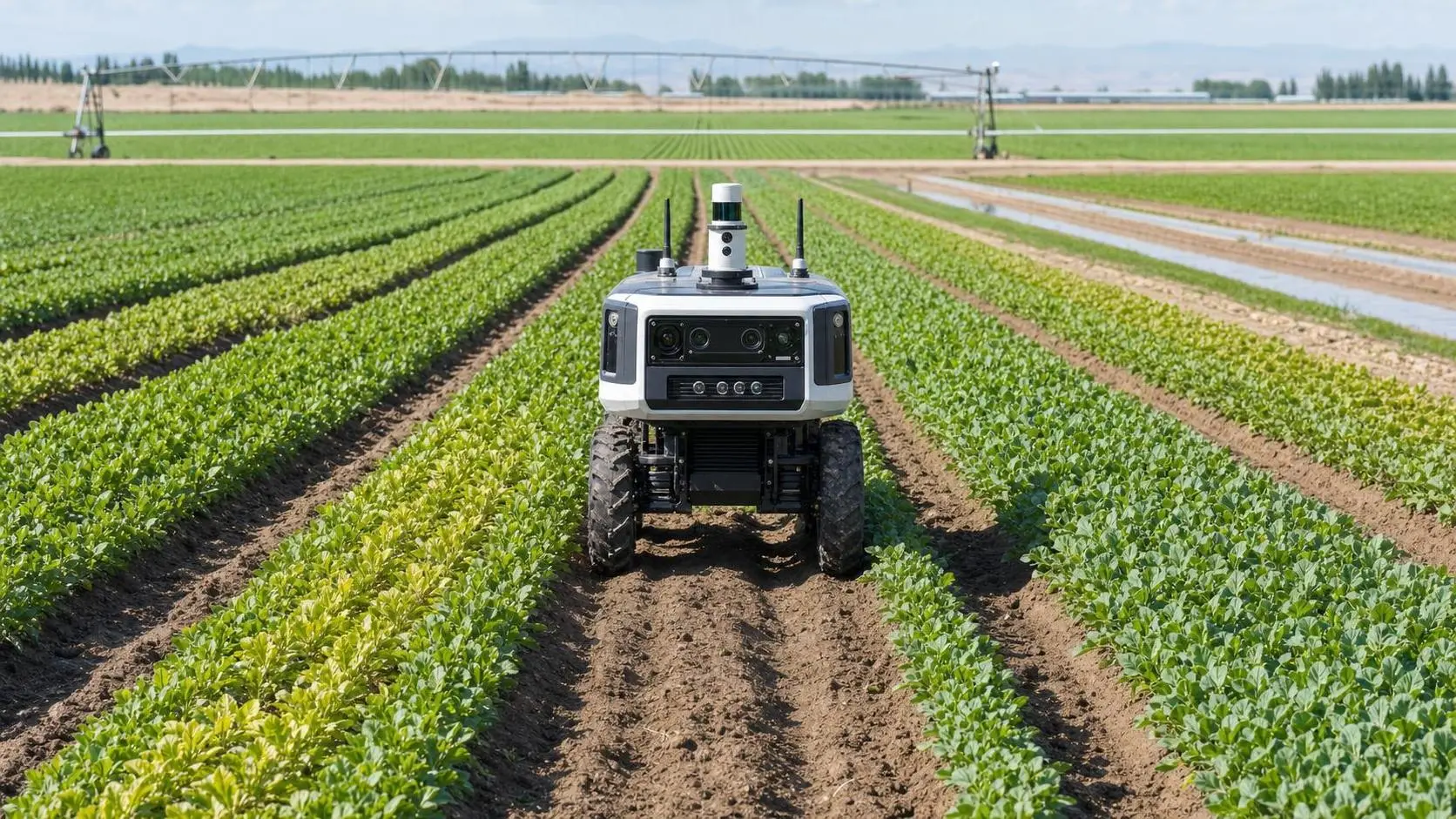
How Autonomous Machinery for Crop Scouting Helps Growers Detect Field Issues Earlier
Autonomous machinery for crop scouting helps growers spot irrigation gaps, pest pressure, and crop stress earlier, turning field data into faster decisions and smarter action.
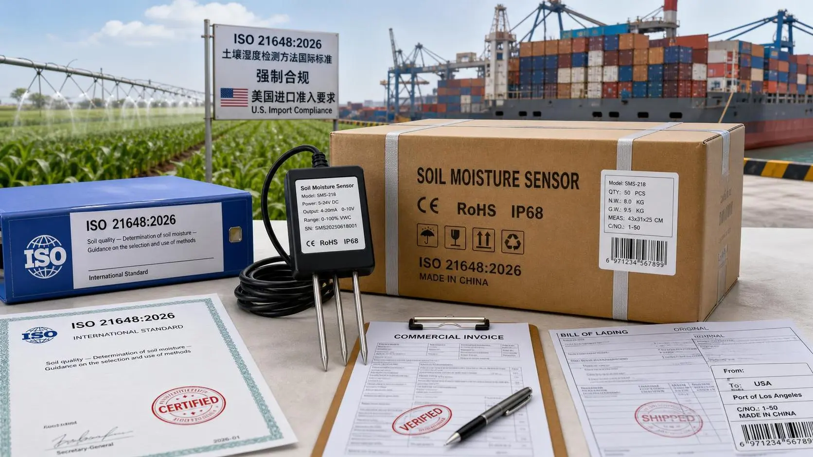
USDA Rule Makes ISO 21648:2026 Mandatory
USDA Rule Makes ISO 21648:2026 Mandatory for soil moisture sensors entering the U.S. Learn how the new USDA import compliance guide impacts certification, CBP entry, suppliers, and delivery plans.
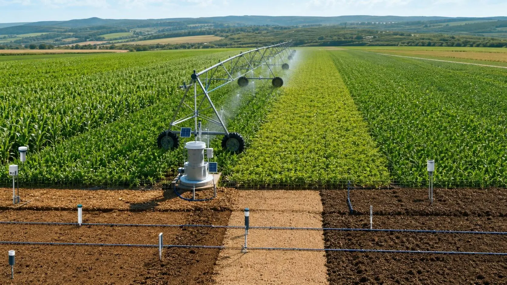
How Digital Farming Improves Irrigation Planning With Soil Data and GPS Mapping
Digital farming for irrigation planning turns soil data and GPS mapping into smarter watering decisions, helping farms reduce waste, improve field precision, and boost operational efficiency.
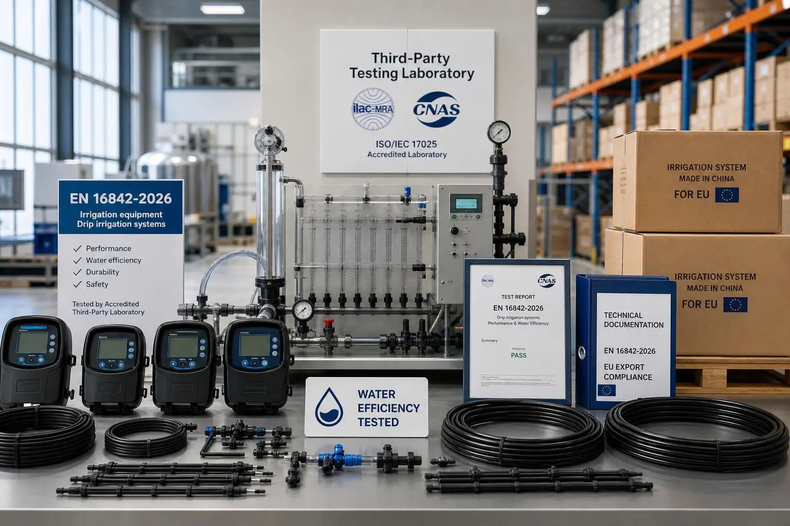
EU Rule Takes Effect: EN 16842-2026 Required for Drip Irrigation Logic Exports
EN 16842-2026 now makes third-party certification mandatory for Drip Irrigation Logic exports to the EU. Learn the compliance risks, customs impact, and supplier checks now.
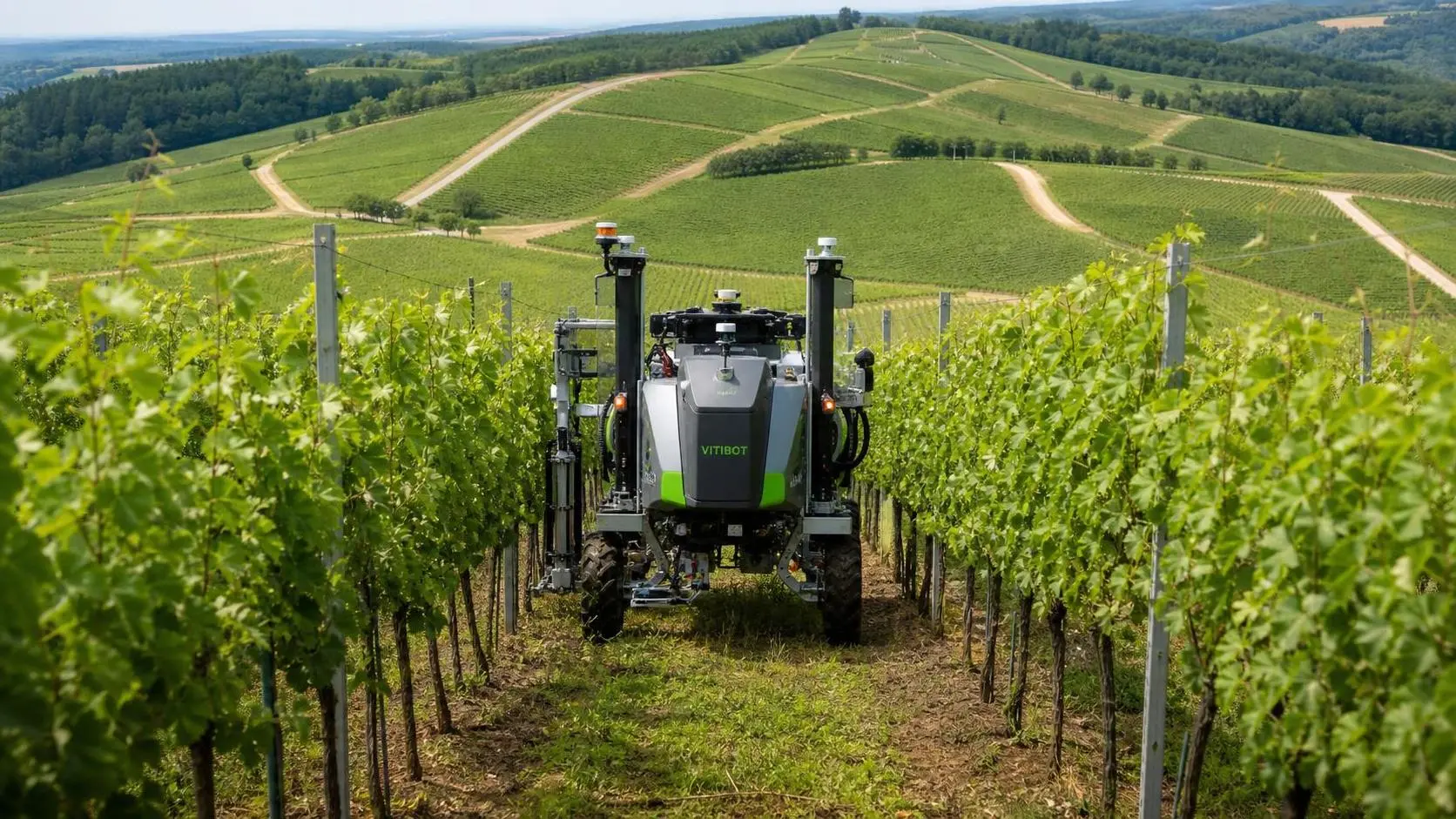
How to Evaluate Autonomous Machinery for Vineyards by Terrain, Tasks, and ROI
Autonomous machinery for vineyards: learn how to evaluate terrain fit, task suitability, safety, and ROI to choose the right solution and reduce procurement risk.
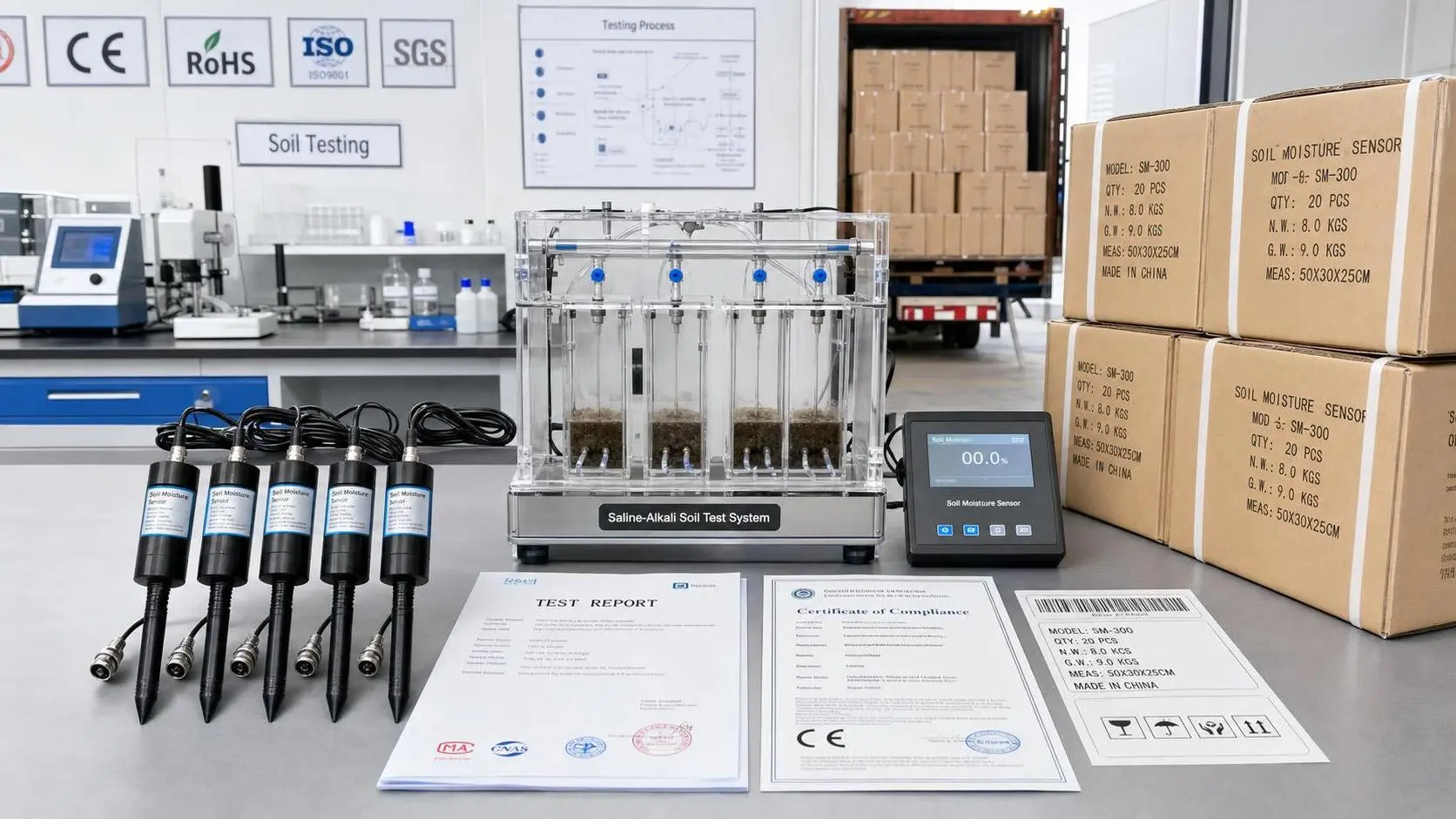
USDA Tightens Import Rules for Soil Moisture Sensors
Soil Moisture Sensors face new USDA import rules from Oct. 1, 2026. Learn how ISO 11274-3:2026 testing may impact customs clearance, lead times, and supplier planning.
How to Use a Global Agricultural Equipment Directory to Compare Suppliers and Reduce Sourcing Risk
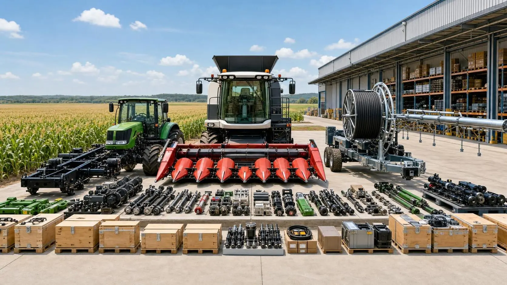
Agricultural equipment directory global sourcing starts with smarter supplier comparison. Learn how to assess fit, compliance, support, and market readiness to reduce sourcing risk.
EU CE Guide Adds RTK Interference Tests for GPS Systems
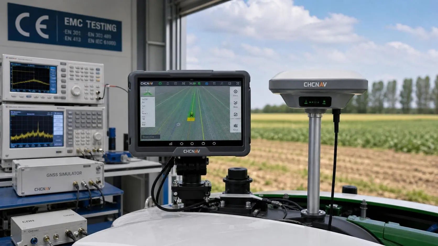
EU CE Guide update adds RTK interference tests for GPS systems from Oct 1, 2026. Learn compliance impacts, CE timing, testing costs, and what exporters must prepare now.
Related News
- 00
0000-00
How RTK Satellite Positioning Improves Accuracy in Precision Farming Operations - 00
0000-00
How Digital Farming Improves Irrigation Planning With Soil Data and GPS Mapping - 00
0000-00
EU CE Guide Adds RTK Interference Tests for GPS Systems - 00
0000-00
US Import Rule Tightens for GPS Guidance Systems - 00
0000-00
USDA Sets Dual Certification Rule for GPS Guidance Systems
Popular Tags
Tractor Power Architect
Weekly Insights
Stay ahead with our curated technology reports delivered every Monday.