GPS-Guided Farm Machinery: Where It Delivers Measurable Field Efficiency Gains




For enterprise leaders evaluating precision agriculture investments, agri-mechanization GPS guided systems are no longer simply navigation aids mounted in tractor cabs. In large-scale operations, they are operational control tools: reducing pass-to-pass overlap, keeping equipment on planned paths during long shifts, creating more consistent application records, and making field capacity easier to forecast.
The strongest business case is not that GPS guidance makes a machine “smarter.” It is that it makes work more repeatable when conditions are difficult: dust obscures markers, crews change during peak season, fields are irregular, operators work at night, and a narrow weather window compresses planting, spraying, or harvest preparation into a few critical days.
That distinction matters. A guidance display may be relatively easy to purchase, but measurable field efficiency gains depend on how the technology is matched to machine width, operation type, correction signal, operator practice, and farm data processes. For equipment fleets, contractors, distributors, and vertically integrated growers, the question is not whether GPS can guide a machine. It is where it can remove enough variability to change cost, capacity, and management decisions.
Efficiency begins with the passes that cannot be recovered
Some field mistakes are visible immediately. A sprayer misses a strip; a planter row drifts from the intended line; a cultivator overlaps excessively at the headland. Others remain hidden until input reports are reconciled or crop performance varies across the field. GPS-guided farm machinery addresses both kinds of loss by giving the operator a reliable spatial reference throughout the operation.
The most practical gains usually appear in operations with wide implements, costly inputs, repetitive passes, or a high penalty for timing delays. On a small field with simple geometry, the difference between manual steering and assisted guidance may be modest. Across many large parcels, long workdays, multiple operators, and implements spanning several meters, minor steering inconsistencies accumulate into tangible operational waste.
Decision-makers should therefore assess guidance technology by work process, not by equipment category alone. A tractor used for shallow tillage, precision planting, fertilizer placement, and towing a high-clearance sprayer does not create the same value in every task. The applicable accuracy level and return profile will change with each pass.
Where GPS-guided machinery produces the clearest measurable gains
1. Soil preparation and controlled traffic planning
Tillage is often treated as a lower-precision operation because the crop is not yet visible. Yet it can be one of the most useful entry points for GPS guidance, especially when large tractors and wide tillage tools are involved. Guidance helps operators maintain effective implement width, reduce unnecessary overlap, and avoid leaving narrow untreated areas that require corrective passes.
The more strategic gain comes when tillage lines support a controlled-traffic approach. Repeated wheel tracks can be concentrated into planned travel lanes rather than spread unpredictably across productive soil. This does not eliminate compaction by itself; tire selection, axle loads, moisture conditions, and traffic discipline still matter. However, repeatable steering paths provide the practical foundation for managing where heavy machinery travels.
For a business operating several tractors across dispersed acreage, this can improve planning discipline. Managers can define preferred entry points, headland patterns, and traffic routes rather than relying entirely on individual operator judgment.
2. Planting and seeding accuracy
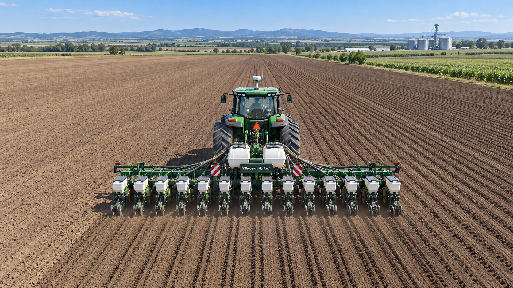
Planting is where many leaders begin to see why a higher-accuracy correction signal may be justified. Straight, repeatable guidance supports consistent row spacing, reduces overlap between planter passes, and makes later field operations easier to align. When crop rows establish the reference for spraying, mechanical weeding, side-dressing, or harvesting, early alignment has a downstream value that should not be ignored.
In this setting, the metric is not simply hectares planted per hour. Management should also examine seed use against planned population, replant requirements, skipped or doubled areas, working speed consistency, and the ability to operate during low-light periods without compromising line quality.
GPS alone does not solve planter performance issues such as poor singulation, uneven depth, residue handling, or inadequate downforce control. It does, however, prevent steering variability from obscuring those mechanical issues. A well-calibrated planter paired with repeatable guidance creates a cleaner operating baseline for agronomy and maintenance teams.
3. Spraying, fertilizer application, and input accountability
Input application often provides the most direct route to a measurable return because overlap represents more than fuel and time. It may mean excess chemical, nutrient, crop stress, residue-management concerns, or a higher risk of documenting a field inaccurately. Guidance systems combined with section control can reduce duplicated application by automatically managing boom or implement sections when entering previously treated ground.
This is particularly relevant on irregular fields, around waterways, terraces, obstacles, and fragmented land blocks where manual judgement becomes less reliable. With precise field boundaries and correctly configured implement dimensions, the system can support cleaner coverage patterns and more defensible operation records.
For enterprise leadership, the opportunity extends beyond consumption reduction. Spatial records can strengthen inventory reconciliation, contractor verification, sustainability reporting, and internal controls. If a farm group is trying to understand why one business unit uses materially more fertilizer or crop-protection product per hectare than another, location-aware work data offers a much better starting point than paper logs or verbal reports.
4. Harvest support and logistics coordination
Combine harvesters are not usually guided for the same reasons as planters or sprayers, but GPS still plays an important role in efficiency. It supports coverage mapping, reduces uncertainty when visibility is poor, and helps operators maintain disciplined paths in broad, uniform crop areas. In crops planted with guidance, row-following and pass alignment may also become easier for the harvesting team.
The larger value often lies around the combine rather than only inside it. Position data can help dispatch grain carts, coordinate haulage, identify completed areas, and reduce idle time caused by communication gaps. During harvest, the bottleneck may shift quickly from cutting capacity to unloading, transport, drying, or storage availability. Guidance data cannot remove every bottleneck, but it gives managers a clearer view of where work is occurring and where delays are forming.
AP-Strategy’s focus on combine harvesting technology is especially relevant here: field efficiency should be evaluated alongside grain loss, cleaning performance, moisture variation, and logistics flow. A faster route across the field has little value if the harvesting system creates avoidable grain loss or repeatedly stops because support equipment is poorly positioned.
5. Night work, labor continuity, and operator confidence
Peak agricultural seasons rarely respect standard working hours. When rain is approaching, soil conditions are finally suitable, or a disease-risk window is closing, the ability to work safely and consistently after dark can protect the whole production schedule. GPS guidance reduces reliance on visual markers and accumulated operator fatigue, allowing capable staff to maintain a planned line in conditions where manual steering becomes stressful.
This should not be confused with removing the operator from the process. Even highly automated steering systems require supervision, boundary awareness, machine setup, and sound agronomic judgment. But they can make performance less dependent on the small number of operators with years of field-specific experience. For businesses facing seasonal labor shortages or an aging operator base, that consistency can be as valuable as direct fuel savings.
The measurement framework: separate “guidance installed” from “guidance working”
A GPS receiver on a machine is not evidence of a successful modernization program. To evaluate field efficiency, organizations need a before-and-after baseline that reflects actual operations. The most useful measures are usually simple, provided they are collected consistently.
Comparisons should account for field shape, weather, soil conditions, crop type, implement width, and operator assignments. Otherwise, a favorable week may be mistaken for a technology gain. The goal is not to manufacture a universal return-on-investment number. It is to identify which recurring inefficiencies are expensive enough, frequent enough, and controllable enough to justify investment.
Choosing the right level of positioning accuracy
Not every operation requires the same correction signal. Basic satellite guidance may be sufficient for broad tillage, rough field orientation, or low-risk operations where sub-meter variation does not materially affect outcomes. More demanding tasks—such as strip-till, precision planting, controlled traffic, or repeatable inter-row work—often require higher accuracy and, importantly, repeatability from one operation to the next.
Leaders should resist both extremes: purchasing the most sophisticated option for every machine, or choosing a low-cost signal that cannot support the intended workflow. The correct choice depends on how accurately the operation must be performed, whether paths need to be repeated across seasons, and what happens when the system drifts, loses correction, or is operated by a less experienced employee.
Compatibility also deserves early scrutiny. Guidance screens, steering controllers, hydraulic systems, ISOBUS implements, variable-rate controllers, telematics platforms, and farm-management software may not exchange data smoothly by default. A mixed fleet can still be modernized, but integration planning must be treated as part of the project rather than an afterthought.
Implementation failures usually start before the machine enters the field
Many underperforming deployments are not technology failures. They are setup failures. Incorrect implement width, inaccurate antenna offsets, poorly drawn boundaries, inconsistent field names, and untrained operators can undermine even a high-quality system. When a machine seems to create unexpected overlap or shifted coverage maps, the problem may be configuration rather than satellite positioning.
A staged rollout is often more credible than equipping an entire fleet at once. Select a few operations where wasted passes, high-value inputs, or schedule pressure are already well understood. Establish the baseline, train operators, document configuration standards, and review results after a complete operating cycle. The lessons can then guide fleet-wide specifications.
Governance matters as well. Someone must own the question of data quality. Someone must decide how fields are named, who can edit boundaries, how prescription files are approved, and where completed job records are stored. Without these rules, precision agriculture data becomes fragmented just as quickly as paper records.
GPS guidance as part of a broader Agriculture 4.0 architecture
GPS-guided machinery is most valuable when it becomes a dependable layer in a connected operating model. Position data can link tractor chassis performance, implement activity, application records, yield maps, irrigation zones, and maintenance decisions. It can support intelligent farm tools that respond to sensor feedback, while also giving irrigation managers a more reliable spatial reference for water-use planning.
This is why large-scale farms should view guidance as infrastructure rather than a standalone accessory. The same digital field boundaries used by a sprayer may later support irrigation analysis, machine routing, harvesting logistics, and sustainability reporting. The return is created over time as more decisions become traceable to the same operating geography.
For AP-Strategy, the practical message is clear: the future of agri-mechanization GPS guided operations is not defined by a screen in a cab. It is defined by the ability to connect mechanical capability, precision algorithms, and resource stewardship in daily field work. When the technology is selected for the right passes, measured against real baselines, and embedded in disciplined workflows, GPS guidance can turn small steering improvements into meaningful enterprise-level control.
Related News
How Sensor Feedback Enables Accurate Variable-Rate Fertilization in Field Conditions
Precision fertilization systems with sensor feedback improve variable-rate accuracy by verifying flow, managing latency, and ensuring reliable field application.
How to Select Precision Crop Protection Equipment for Variable Field Conditions
Precision crop protection equipment selection made simple: compare terrain, canopy, weather, control accuracy, and data workflows for reliable applications.
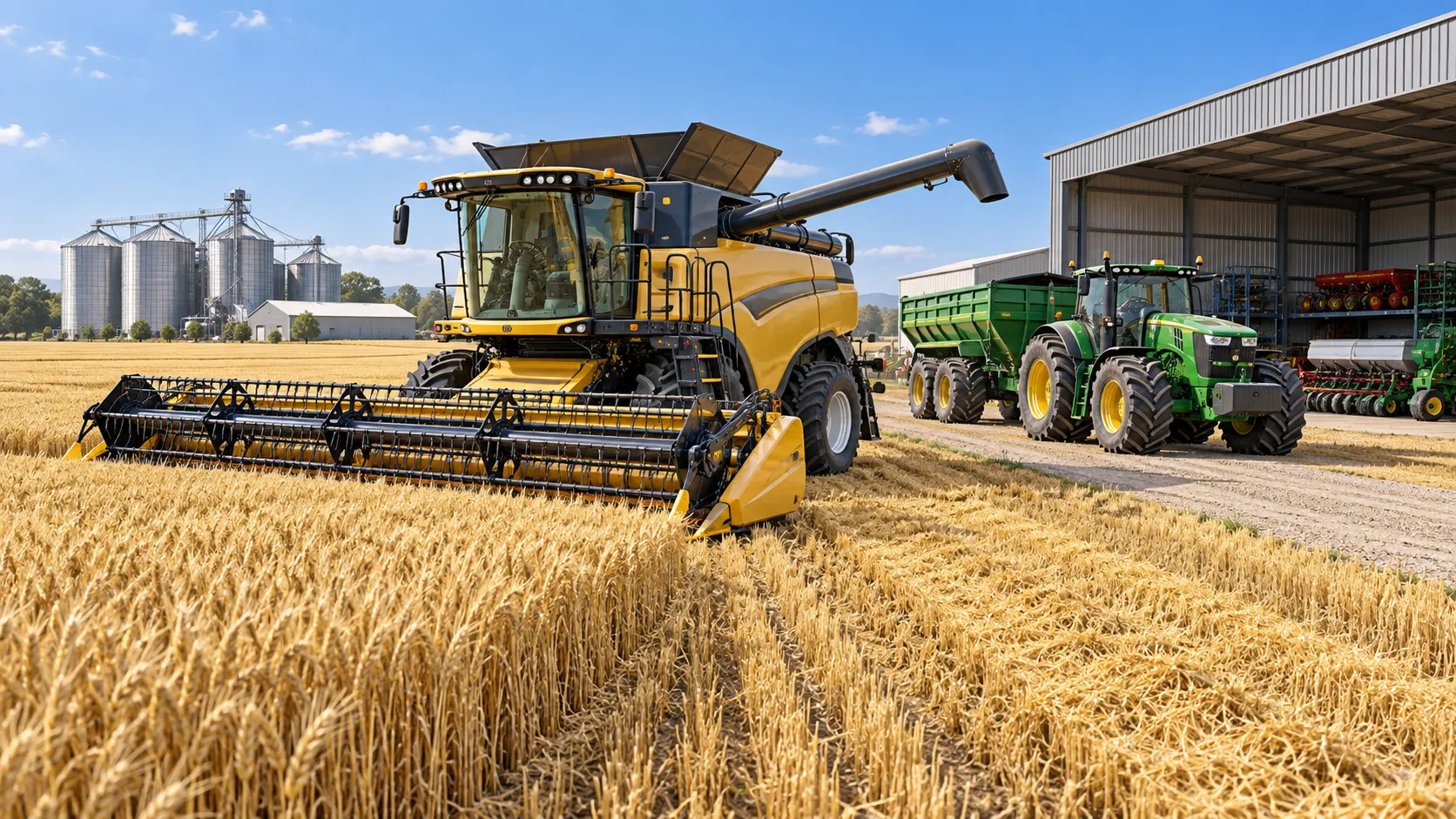
When Does Agricultural Machinery Leasing Cost Less Than Owning Equipment?
Agricultural machinery leasing can lower farm costs when use is seasonal or uncertain. Compare utilization, maintenance, cash flow, and risk to make a smarter equipment decision.
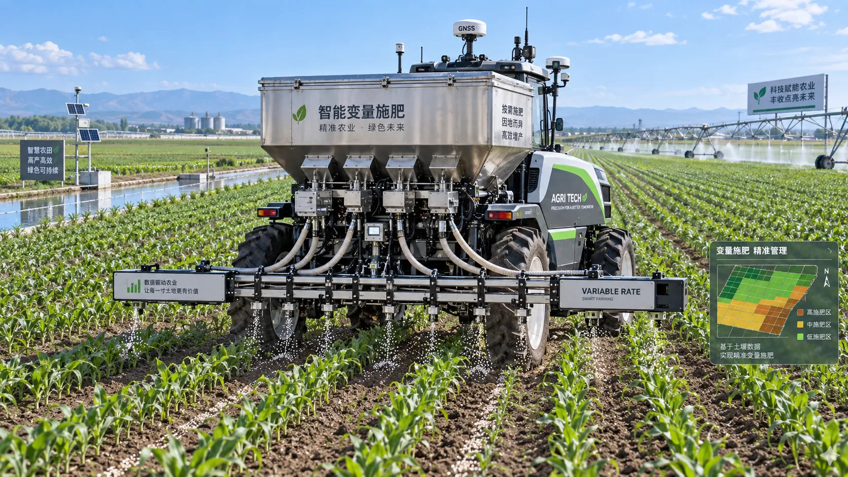
How to Evaluate Precision Fertilization System Suppliers for Farm-Scale Deployment
Precision fertilization systems suppliers: learn how to compare accuracy, integration, uptime, service, and total cost for confident farm-scale deployment.
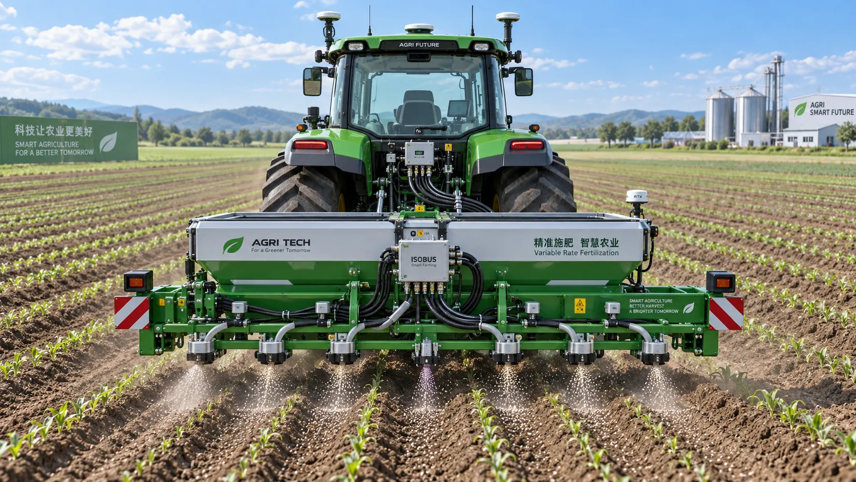
ISOBUS for Smart Agriculture: How It Connects Tractors, Implements, and Farm Data
ISOBUS for smart agriculture connects tractors, implements, terminals, and farm data—helping growers improve precision, documentation, and smarter field decisions.
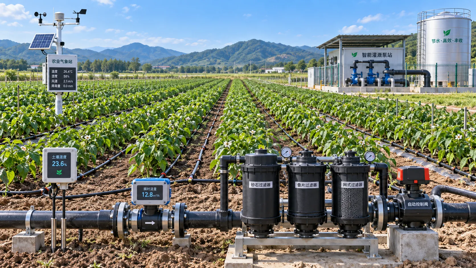
Automated Water-Saving Irrigation: How to Cut Water Use Without Reducing Crop Yields
Automated water-saving irrigation helps farms cut water use, protect crop yields, improve scheduling, and gain reliable control with sensors, flow monitoring, and smart zones.
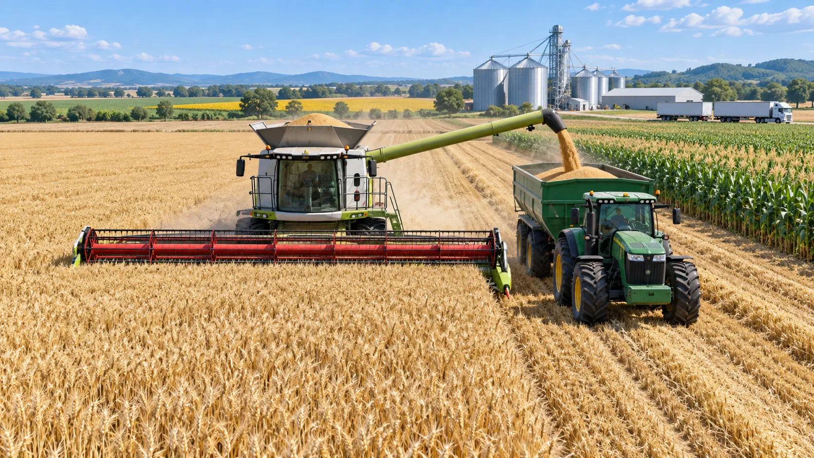
Selecting Grain Farm Equipment by Acreage, Crop Mix, and Harvest Window
Agricultural equipment selection for grain farming: match machinery to acreage, crop mix, and harvest windows to improve uptime, efficiency, and returns.
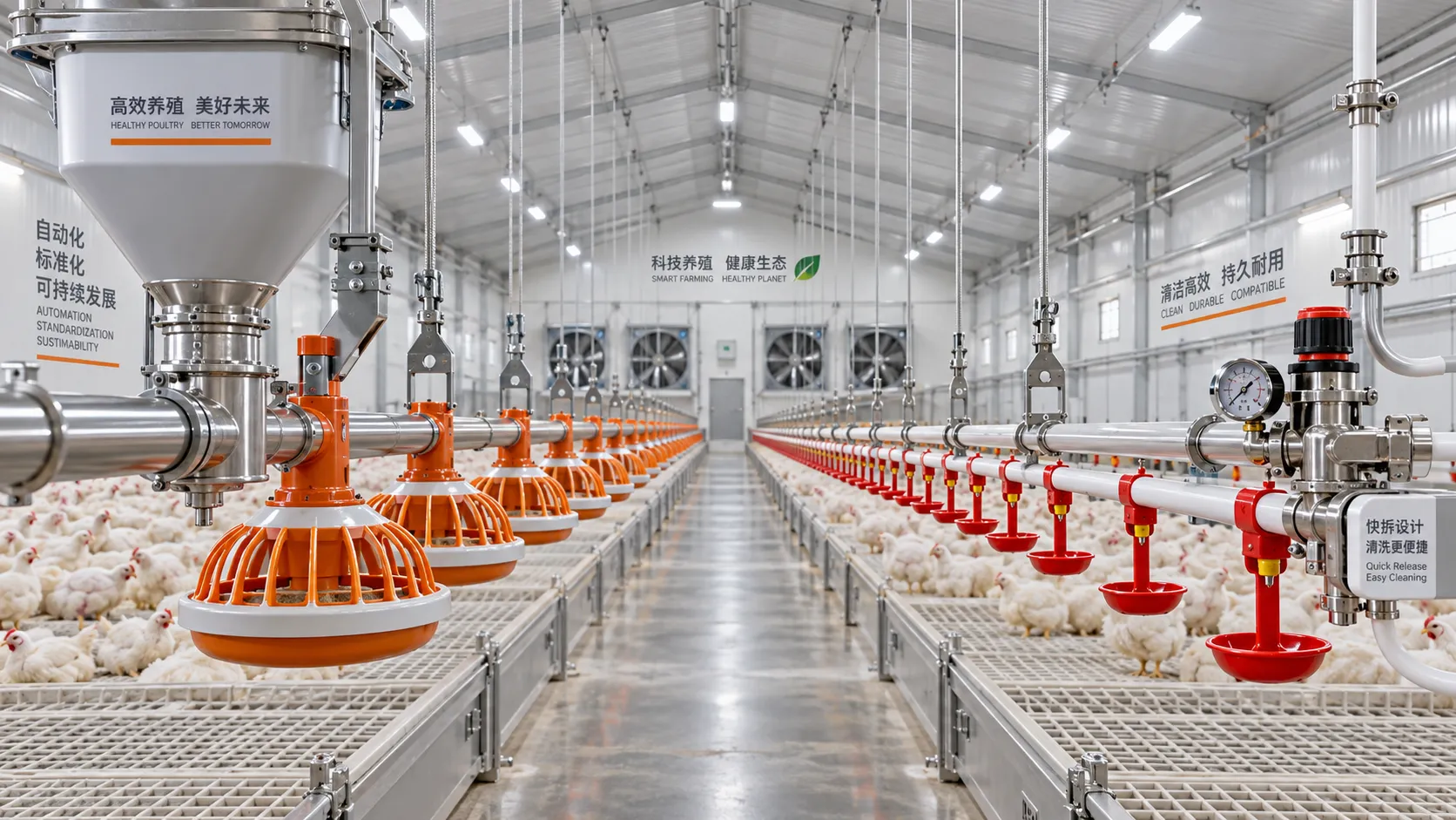
Poultry Equipment Selection: Evaluating Durability, Cleaning, and Compatibility
Poultry equipments selection guide: evaluate durability, cleaning access, and system compatibility to improve hygiene, reduce downtime, and support efficient flock management.
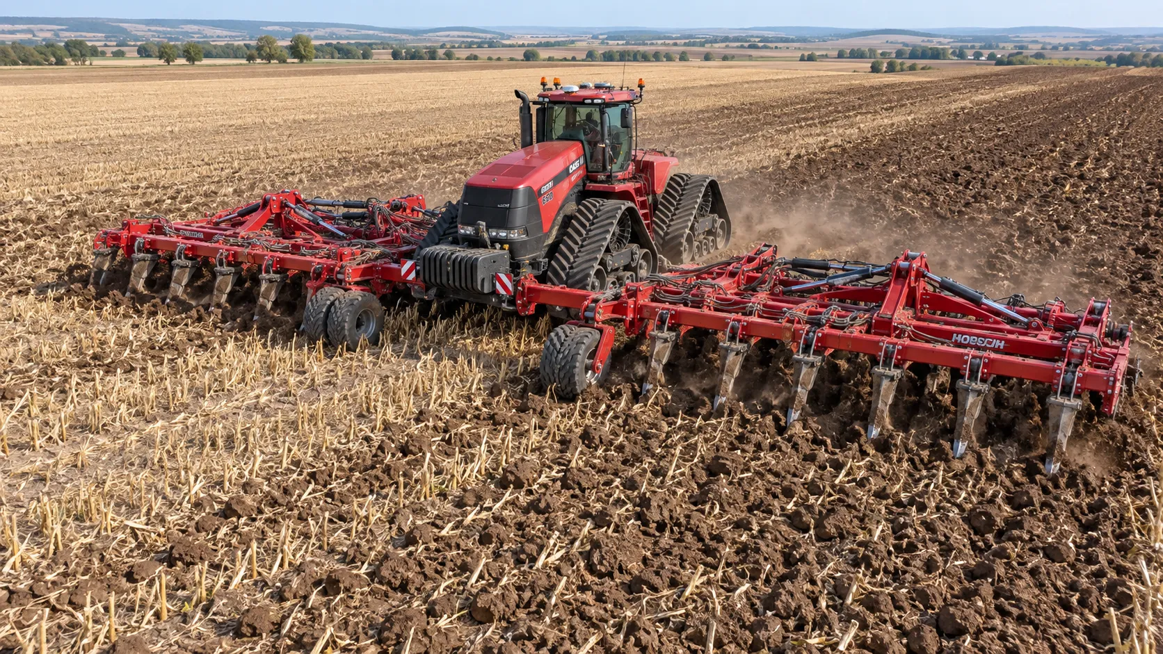
How to Select Heavy-Duty Farm Implements for High-Acreage, High-Horsepower Operations
Heavy duty farm implements: learn how to match draft, hydraulics, hitch capacity, frame strength, and field conditions for reliable high-acreage performance.
Related News
- 00
0000-00
GPS-Guided Farm Machinery: Where It Delivers Measurable Field Efficiency Gains - 00
0000-00
ISOBUS for Smart Agriculture: How It Connects Tractors, Implements, and Farm Data - 00
0000-00
How North American Farms Can Select Crop Monitoring Systems by Acreage and Connectivity - 00
0000-00
How Tractor Intelligence Systems Improve Field Efficiency and Input Accuracy - 00
0000-00
Which equipment for larger fields maintains accuracy at higher speeds?
Popular Tags
Tractor Power Architect
Weekly Insights
Stay ahead with our curated technology reports delivered every Monday.