How Digital Farming Improves Irrigation Planning With Soil Data and GPS Mapping
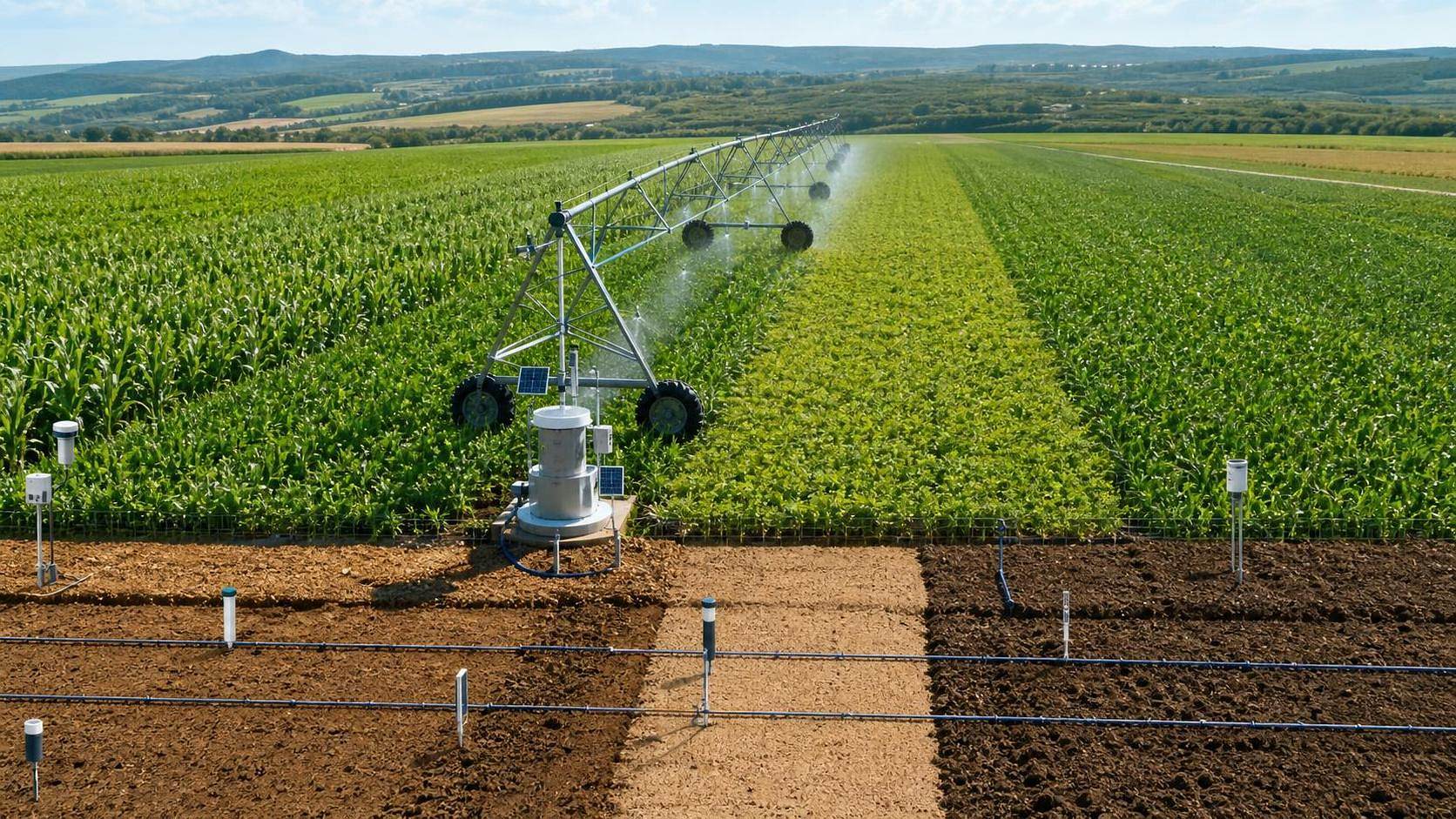




How Digital Farming Improves Irrigation Planning With Soil Data and GPS Mapping
For project managers running modern farm operations, irrigation planning usually breaks down for a simple reason: the field is treated as if it were uniform when it is not. One block holds water longer. Another sheds it fast. One corner has shallow rooting depth. Another sits on a slope and gets overwatered if the same schedule is applied everywhere. This is where digital farming for irrigation planning stops being a technology label and starts becoming an operating tool. When soil data, GPS mapping, and irrigation control logic are connected properly, teams can plan water application with much more precision and much less guesswork.
If you are evaluating or deploying this kind of setup, the practical question is not whether the software dashboard looks advanced. The real question is whether the data pipeline helps your field team make better irrigation decisions day after day. The checklist below is written from that angle.
Start with management zones, not a whole-field average
A surprising number of irrigation projects still begin with one field, one schedule, one target. That works only on very uniform land, and even then only part of the season.
Before you look at controller options or sensor brands, check whether the field has been divided into workable management zones. These zones should be based on things that actually affect water behavior:
- soil texture differences
- topography and drainage pattern
- historical yield variability
- crop rooting depth and planting pattern
- irrigation system layout and pressure constraints
GPS mapping matters here because it turns those differences into something the operations team can actually use. A map is not valuable because it looks detailed. It is valuable because it lets the agronomy, irrigation, and machinery teams point to the same area and mean the same thing. If your current maps do not align with valve groups, pivot sectors, drip blocks, or pump capacity, the map is not ready for planning.
Check whether the soil data is decision-grade
Not all soil data deserves equal trust. Some teams collect a lot of numbers and still cannot answer a basic question like: how much plant-available water is in this zone right now?
For irrigation planning, focus on whether the dataset can support actual scheduling decisions. At minimum, review these points:
- Sampling depth matches the crop root zone, not just the surface layer.
- Sampling density is enough to capture variability across large blocks.
- The team understands whether the readings represent texture, moisture status, salinity risk, or compaction, because those are different management issues.
- Sensor placement is tied to known field conditions instead of convenience near roads or power supply.
A common mistake is over-relying on a single moisture probe location for an entire field block. Another is treating soil electrical conductivity maps as if they alone can determine irrigation scheduling. They can help define variability zones, but they do not replace moisture monitoring or field verification.
If your team cannot explain how field capacity, refill point, and infiltration behavior differ from zone to zone, pause the rollout and clean up the data assumptions first. Software will not correct a weak agronomic baseline.
Make sure GPS mapping matches irrigation hardware in the real world
This sounds obvious, but it is where many implementations get messy. The digital map may show precise polygons, while the hardware can only irrigate in fixed pivot slices, fixed drip submains, or valve-based blocks. If the digital layer promises a finer control level than the field system can deliver, your plan will look smart and perform poorly.
Project managers should ask a blunt question early: what is the smallest controllable irrigation unit on this farm? That is the unit your planning model must respect.
This is especially important in large-scale operations where field boundaries, machine guidance lines, and irrigation infrastructure may have evolved at different times. Alignment problems are not rare.
Do not separate irrigation scheduling from drainage and infiltration realities
A digital irrigation plan can fail even when the moisture data is good if the soil cannot absorb water at the planned rate. Heavy soils, compacted traffic lanes, and fields with poor internal drainage all distort the expected response.
So when reviewing a solution, check whether the planning model accounts for:
- basic infiltration limits
- runoff-prone slopes
- waterlogging zones
- compaction caused by machinery traffic
- salinity-sensitive areas where over-irrigation can make the problem worse
This is one of those places where cross-team coordination matters. Precision farming data may identify a dry zone, but the irrigation answer may not be “apply more water.” Sometimes the real issue is poor infiltration, blocked drainage, or uneven distribution uniformity. If you only look at moisture deficit, you can chase symptoms all season.
Use scheduling rules that operators can actually run
One hard lesson from digital farming deployments: the best schedule on paper is useless if the field team cannot execute it with the available labor, pumping windows, and maintenance condition of the system.
A workable irrigation plan should tell the team more than “water when soil moisture drops.” It should define operating triggers and limits such as:
- what refill threshold prompts irrigation in each zone
- how much water can be applied per pass or cycle without runoff
- which zones get priority when water supply is limited
- what to do after rainfall that is uneven across the farm
- when manual override is allowed and who approves it
That last point matters more than people think. In many operations, the control platform is digital but the final decisions still depend on supervisor judgment. That is fine, as long as the override logic is documented. Otherwise your dataset becomes impossible to interpret later, because nobody knows whether an irrigation event followed the plan or not.
Watch the data timing, not just the data quality
For irrigation planning, stale data can be nearly as bad as wrong data. If sensor readings arrive late, GPS layers are not updated after field changes, or weather inputs are inconsistent, scheduling decisions drift quickly.
Ask these questions during evaluation:
- How often is soil moisture data refreshed?
- Who checks sensor drift, communications loss, or battery failure?
- How are rainfall events validated against on-farm conditions?
- How quickly are replanting, boundary changes, or hardware outages reflected in the map and schedule?
There is no universal refresh interval that fits every crop and climate. A high-frequency vegetable system and a broadacre grain operation will not run the same way. If a vendor or internal team offers one fixed answer without reference to crop stage, irrigation method, and climate volatility, treat that as a warning sign.
Build around the decisions that cost money when they go wrong
Project managers should tie digital farming for irrigation planning to the few decisions that actually move operating results. Usually that means some combination of water allocation, pumping hours, energy cost, crop stress avoidance, and labor efficiency.
In practical terms, your setup should help answer questions like these without a long manual reconciliation process:
- Which zones are approaching stress first?
- Where are we applying water beyond likely crop uptake?
- Which blocks should be irrigated tonight if pump capacity is constrained?
- Is the yield variation linked to water timing, soil limitations, or application uniformity?
If your platform produces attractive maps but does not help with those decisions, you are paying for visibility without control.
Plan for verification in the field, not just on the screen
This is where experienced teams usually separate themselves. They do not assume the model is right because the interface is polished. They verify. They dig. They inspect emitters, pivots, pressure behavior, and wetting patterns. They compare the map to what the crop is actually doing.
A simple rule works well: any major schedule change should be checked against field evidence until confidence is earned. That is particularly important during early rollout, unusual weather periods, or the first season after zoning changes.
There is no need to invent performance claims here. If you do not yet have season-level benchmarking for water use, uniformity, or crop response, say so and mark it for review. Using cautious labels such as 【To be verified】 is better than pretending the system has already proven itself.
A final operational check before rollout
Before full deployment, confirm that your team can answer these points clearly:
- Which soil variables are being used for scheduling, and why?
- How are GPS maps linked to controllable irrigation units?
- Who owns sensor maintenance, map updates, and schedule approval?
- What is the fallback process when sensors fail or communications drop?
- How will the team verify that the new planning method is improving decisions rather than simply producing more data?
That is the core of it. Digital tools can make irrigation planning far more precise, but only when the soil data is trustworthy, the GPS mapping reflects field reality, and the operating rules fit the hardware and the people running it. For project managers, the win is not adopting more technology. It is building a planning process that stays accurate under real field pressure.
Related News
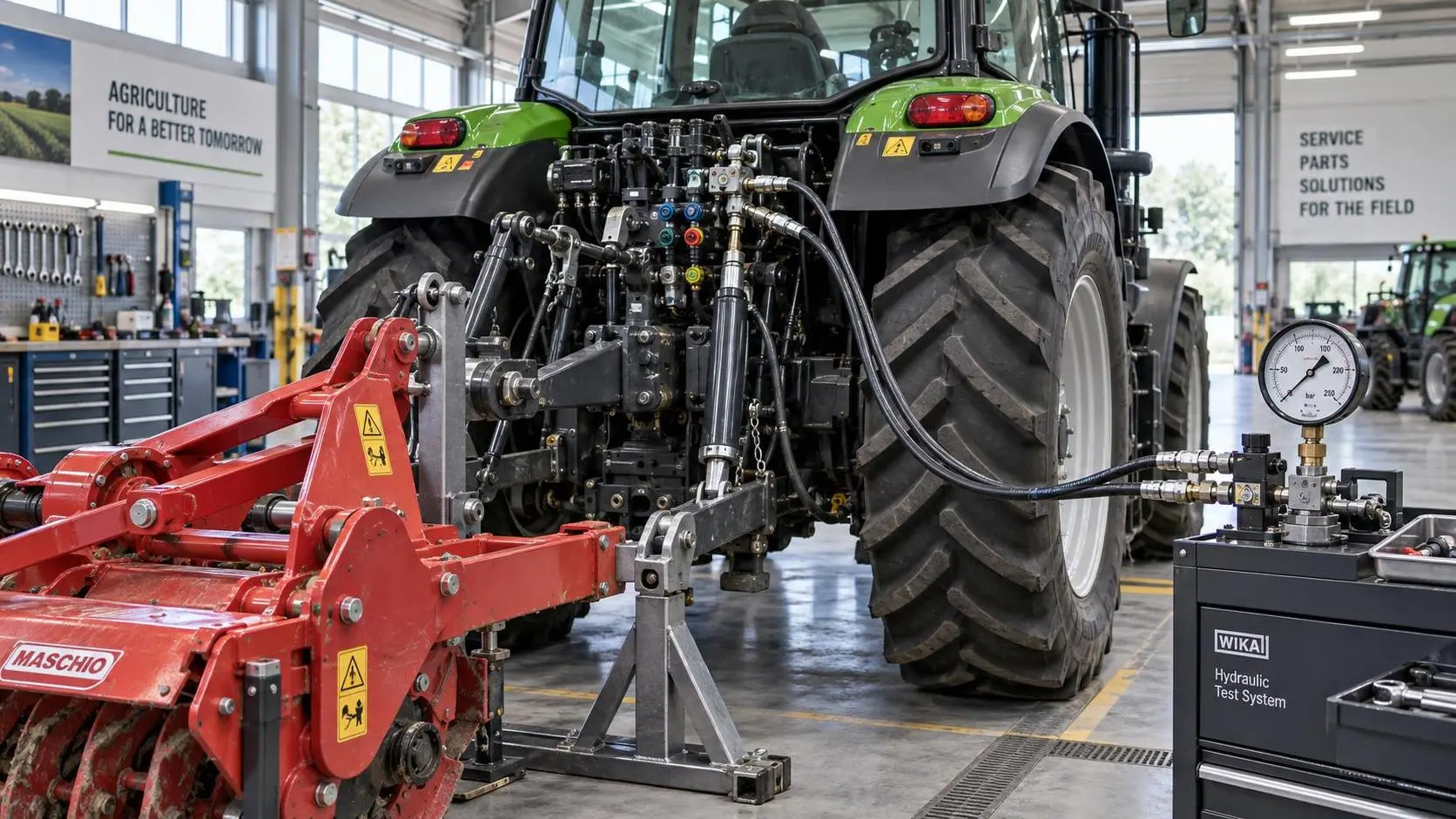
Tractor Hydraulic Systems Troubleshooting: Diagnosing Weak Lift and Slow Implements
Tractor hydraulic systems troubleshooting made practical: diagnose weak lifts and slow implements with proven pressure, flow, valve, and oil-supply checks.
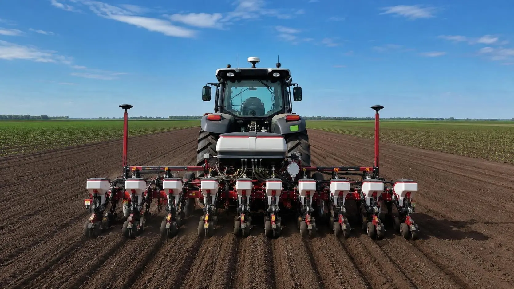
How Tractor Intelligence Systems Improve Field Efficiency and Input Accuracy
Agricultural machinery intelligence for tractors improves field efficiency, input accuracy, data traceability, and implement control. Explore smarter evaluation strategies.
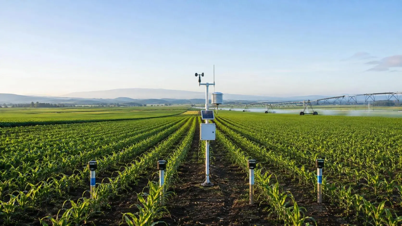
How to Evaluate Crop Monitoring System Manufacturers for Large-Scale Farms
Compare crop monitoring systems manufacturers for large-scale farms. Evaluate data quality, integration, durability, lifecycle costs, support, and pilots for smarter decisions.
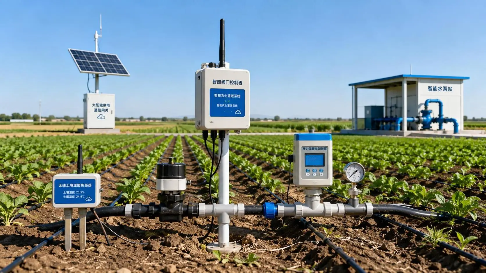
Wireless Agricultural Automation for Remote Irrigation and Field Monitoring
Agricultural automation wireless solutions improve remote irrigation with reliable field data, local control, flow verification, and smarter monitoring. Explore resilient deployment strategies.
Agricultural Product Information Market Guide: Key Data for Sourcing Decisions
Agricultural product information market guide for smarter sourcing—compare machinery, irrigation, precision tools, lifecycle costs, and supplier risk.
Large-Scale Farm Equipment Cost Comparison: Price, Fuel, and Lifecycle Value
Large-scale farm equipment cost comparison: evaluate price, fuel, maintenance, downtime, and lifecycle value to choose tractors, combines, irrigation, and smart tools with confidence.
A Procurement Specification Preparation Example for Buying Farm Equipment
Procurement specification preparation example for farm equipment: learn to define requirements, compare suppliers, control lifecycle costs, and buy with confidence.
What Tractor Horsepower Is Needed for a Three-Bottom Moldboard Plow?
What tractor horsepower is needed for three-bottom moldboard plow? Compare 60–100 hp needs by soil, depth, traction, and plow width for a confident equipment match.
How Does Climate-Smart Farming Reduce Water Use in Semi-Arid Areas?
How does climate-smart farming reduce water use in semi-arid zones? Discover precision irrigation, soil monitoring, and smarter crop planning for resilient yields.
Related News
- 00
0000-00
How Tractor Intelligence Systems Improve Field Efficiency and Input Accuracy - 00
0000-00
China’s Temporary Helium Export Ban Reshapes Irrigation Supply Chains - 00
0000-00
Tianjin to Host 2026 China Farm Machinery Expo - 00
0000-00
Guangxi Subsidy Plan Signals Smarter Farm Machinery Supply Shift - 00
0000-00
EU Rule Takes Effect for GPS Guidance System Imports
Popular Tags
Tractor Power Architect
Weekly Insights
Stay ahead with our curated technology reports delivered every Monday.