Which field data collection provider fits an agricultural robotics program?




Which Field Data Collection Provider Fits an Agricultural Robotics Program?
For technical evaluators building an agricultural robotics program, the question is not simply which provider should an agriculture-robotics company use for field data collection? It is which partner can turn variable, inconvenient, and often poorly documented field conditions into datasets that an engineering team can actually trust.
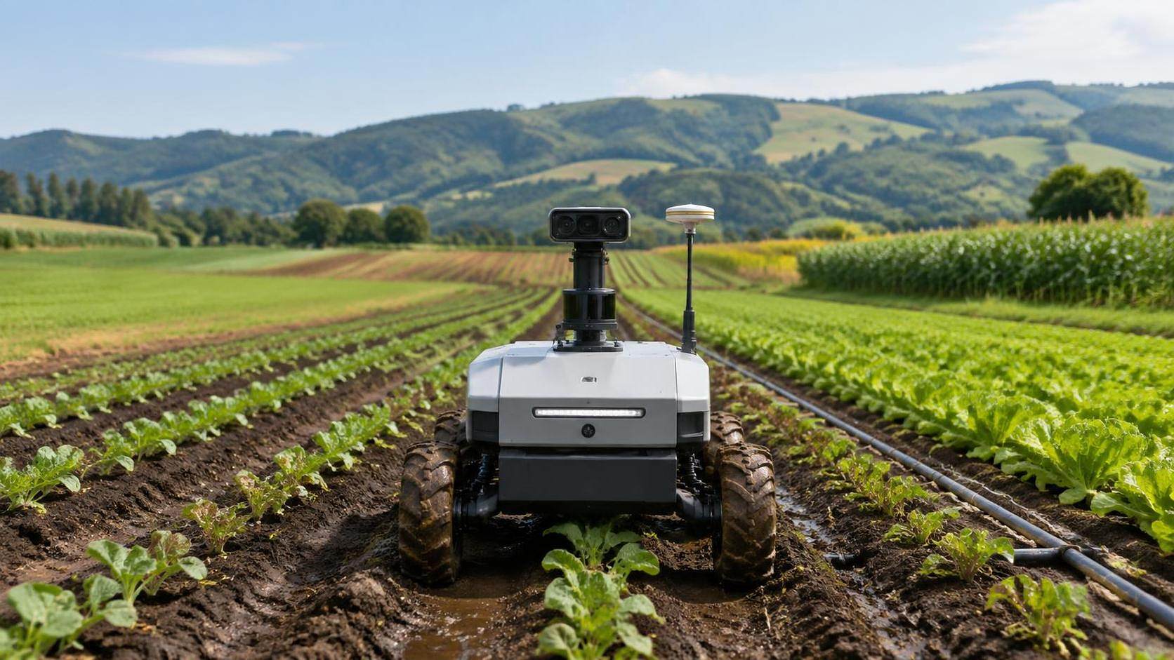
A field robot does not operate in a clean laboratory. It encounters dust on lenses, inconsistent GNSS coverage, crop canopies that change by the week, wheel slip in wet soil, irrigation infrastructure, headlands, shadows, uneven terrain, and operators who may not follow a data-capture protocol perfectly. A provider that produces attractive maps but cannot document positioning accuracy, sensor calibration, missing-data rules, and collection conditions may create more downstream work than value.
The right choice depends less on who has the most sensors and more on whether the provider’s collection workflow matches the robotics program’s next technical decision. Is the team training perception models? Validating autonomous navigation? Building a prescription engine for spraying or irrigation? Measuring combine losses? Each objective requires a different field-data design.
Start With the Decision the Dataset Must Support
Many agricultural robotics projects begin by requesting “high-quality field data.” That sounds reasonable, but it is too vague to support procurement. Before comparing providers, define the operational decision that the dataset must make safer, faster, or more repeatable.
For a weeding robot, useful data may include crop-versus-weed labels, growth-stage variation, lighting conditions, residue levels, row geometry, and camera mounting details. For an autonomous tractor platform, the priority may shift to field boundaries, obstacle inventories, terrain profiles, RTK correction performance, wheel-track conditions, and repeatable route references. A harvester-assistance project may need synchronized machine telemetry, grain-loss observations, crop moisture context, and accurate location records rather than broad aerial imagery alone.
That distinction matters because a drone mapping company, a geospatial survey specialist, a farm-management data platform, and a robotics field-services team can all describe themselves as field data providers. They are not interchangeable.
The Provider Types—and Where Each One Fits
A specialist geospatial survey provider is often a strong fit when the robotics program needs defensible field geometry. This includes permanent infrastructure, drainage features, tree lines, ditches, slopes, headlands, field entrances, and reference control points. These providers are particularly useful before autonomous equipment enters unfamiliar farms, because field boundaries supplied by growers or farm-management systems may be incomplete, outdated, or unsuitable for machine safety planning.
Their limitation is equally important: survey accuracy does not automatically mean agricultural context. A highly accurate terrain model will not tell a robot whether residue is likely to obscure young plants, whether seasonal irrigation hoses cross a lane, or whether a field operation changes the obstacle profile after planting. If the project involves real machine behavior, the provider needs a process for repeated field updates rather than a single pre-season survey.
Drone and remote-sensing providers are valuable for wide-area crop assessment, stand counts, canopy variability, surface drainage clues, and scouting support. They can be especially useful when a robotics team is selecting trial fields or identifying zones that need ground-level observation. But aerial data should not be accepted as a substitute for close-range perception data. A robot’s camera, LiDAR, radar, and working height see a different world than a drone.
For perception-heavy agricultural robotics, a managed ground-truth collection provider is usually the better fit. This type of partner understands capture protocols, sensor placement, annotation instructions, repeat passes, crop-stage tracking, and edge cases. The useful question is not “Can you collect images?” It is “Can you reproduce our capture configuration across different farms and document exceptions?” A provider that cannot answer that clearly may deliver files, but not a usable training asset.
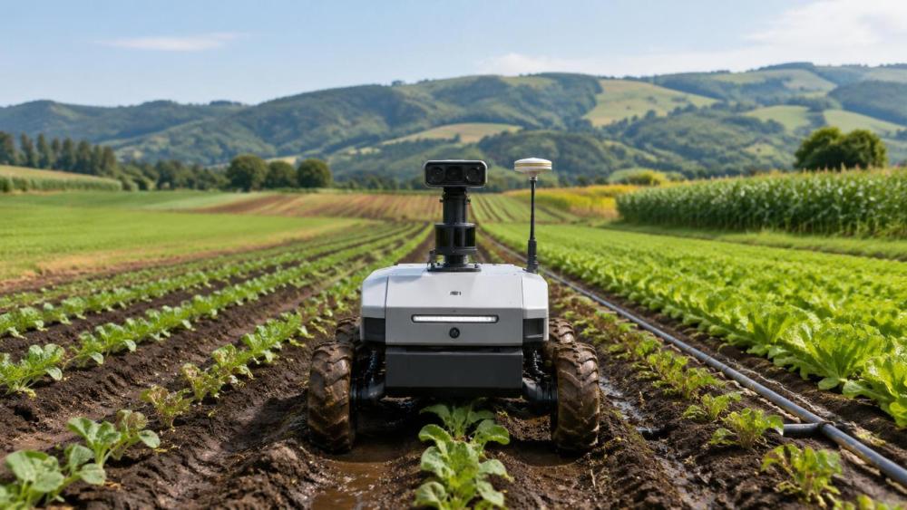
Telematics and machinery-integration providers occupy another category. They become central when the robot must work with tractors, implements, combines, pumps, or irrigation controllers. In these programs, data collection is not only about location and crop condition. It is about synchronized operating states: speed, implement position, hydraulic behavior, application status, alarms, path deviations, and environmental context. A timestamp drift between machine logs and camera records can quietly invalidate an otherwise expensive trial.
A full-service agricultural field-data partner can reduce coordination burden, particularly for multi-region programs. Still, “full service” deserves scrutiny. Some providers are strong at arranging collections but subcontract the operational work, annotation, surveying, or equipment integration. That model is not automatically a problem. It does mean the robotics company should ask who owns field protocol design, quality acceptance, raw-data custody, and corrective action when a collection day fails.
Accuracy Is Not One Number
Technical teams often ask for a provider’s positional accuracy, but this is only the beginning. A coordinate can be precise while the underlying observation is poorly aligned. For example, an image may have a reliable GNSS tag but still be unsuitable for crop-level mapping if the camera trigger, vehicle speed, sensor orientation, or timestamp is not controlled.
The practical evaluation should separate at least four issues: horizontal positioning, vertical positioning, sensor-to-sensor alignment, and repeatability across visits. A program developing autonomous mowing may care most about repeatable lateral position near boundaries. A robot designed to detect fruit, weeds, or disease symptoms may care more about camera exposure consistency, focus checks, annotation rules, and the relationship between image frames and physical plant locations.
Ask the provider how they handle GNSS degradation near trees, buildings, slopes, and equipment sheds. Ask whether they preserve raw observations, correction records, and sensor logs. Ask what happens when a field crew notices a failed camera, blocked lens, or interrupted reference signal halfway through a route. The answer reveals whether quality control is a formal operating process or an informal promise.
Data Quality Needs an Acceptance Plan Before Fieldwork Begins
The strongest collection providers do not wait until delivery to discuss quality. They agree in advance on what constitutes a complete route, a valid observation, an acceptable gap, a failed capture, and a required recollection. This may sound administrative, but agricultural fieldwork is full of interruptions: rain, wind, dust, inaccessible rows, machinery conflicts, labor availability, battery limits, and crop operations that cannot be delayed for a sensor run.
An acceptance plan should cover file formats, coordinate reference systems, naming conventions, sensor metadata, calibration records where relevant, annotation instructions, and version control. It should also specify whether raw data, processed outputs, and derived labels are all delivered. Robotics teams frequently regret accepting only processed imagery or summary layers, because model development and debugging later require access to original sensor records.
Data ownership deserves equally direct attention. Farms may impose restrictions on imagery, field boundaries, machine telemetry, or yield-related records. A provider should be able to explain how permissions are managed, how data are stored, who can reuse the information, and how access is handled after the project closes. These terms should be reviewed before the first field pass, not when a commercial partner requests historical data six months later.
Choose for Seasonal Variability, Not the Demo Day
Agricultural robotics programs commonly underestimate time. A field that appears simple in early spring may become a very different operating environment after canopy closure, irrigation cycles, rainfall, harvesting traffic, or residue management. The data provider should understand that seasonal variation is not noise to be removed; it is often the operating reality the robot must survive.
For programs working across crops or regions, field diversity must also be intentional. Soil texture, row spacing, terrain, farm size, irrigation method, machinery practices, and local operating habits can all influence robot performance. It is usually better to collect a smaller but well-documented dataset across meaningful conditions than a large volume of loosely described files from one convenient location.
This is where sector intelligence can sharpen provider selection. AP-Strategy’s coverage of large-scale machinery, combine harvesting technology, tractor chassis, intelligent farm tools, and water-saving irrigation reflects a useful reality: field data cannot be judged in isolation from the equipment and production system around it. A harvester data workflow has different dependencies from a precision irrigation platform, even when both rely on geospatial records and sensor feedback. Evaluators should use machinery configuration, crop cycle, water management, and farm operating practices as part of the provider brief.
A Practical Shortlist Test
When comparing shortlisted providers, request a pilot that is deliberately modest but operationally realistic. Avoid a demonstration conducted only in ideal weather, on a clean field, with the provider’s preferred equipment and staff. Instead, ask for a representative collection task that includes your sensor stack or a close equivalent, your intended file structure, and a clear quality review.
During that pilot, evaluate more than the final dataset. Watch how the provider plans access, checks equipment, records anomalies, communicates with farm operators, responds to missing records, and explains assumptions. Field collection is a service operation as much as a technical one. A technically capable team that cannot coordinate around planting, spraying, irrigation, harvest windows, and farm safety routines will struggle at scale.
- Can the provider work from a written collection protocol rather than an informal brief?
- Can it capture and preserve the metadata needed to reproduce or audit the dataset?
- Does it understand the difference between mapping accuracy and robot-operational accuracy?
- Can it manage repeat collections through changing weather, crop stages, and field operations?
- Are raw data, processed outputs, and data-use rights clearly defined?
The Best Fit Is Usually a Capability Match, Not a Famous Name
So, which provider should an agriculture-robotics company use for field data collection? For route mapping and autonomous-operating boundaries, begin with a provider that has serious geospatial and survey discipline. For perception models, prioritize a partner experienced in repeatable ground-level capture and annotation management. For machinery-connected robotics, select a provider that can synchronize field observations with equipment telemetry. For a multi-season, multi-region development program, the strongest choice may be a lead integrator supported by local specialists.
The deciding factor is whether the provider can make the dataset traceable from field condition to engineering decision. If it cannot explain how an observation was collected, positioned, checked, transformed, and delivered, it is not yet a dependable foundation for agricultural autonomy. In this sector, the field always introduces surprises. The right provider is the one with a credible method for recording those surprises rather than quietly editing them out.
Related News
Selecting Precision Farming Products by Application: Field Conditions, Crops, and ROI
Application-based product selection for precision farming: match technology to field conditions, crops, machinery, and ROI for smarter, reliable farm investments.
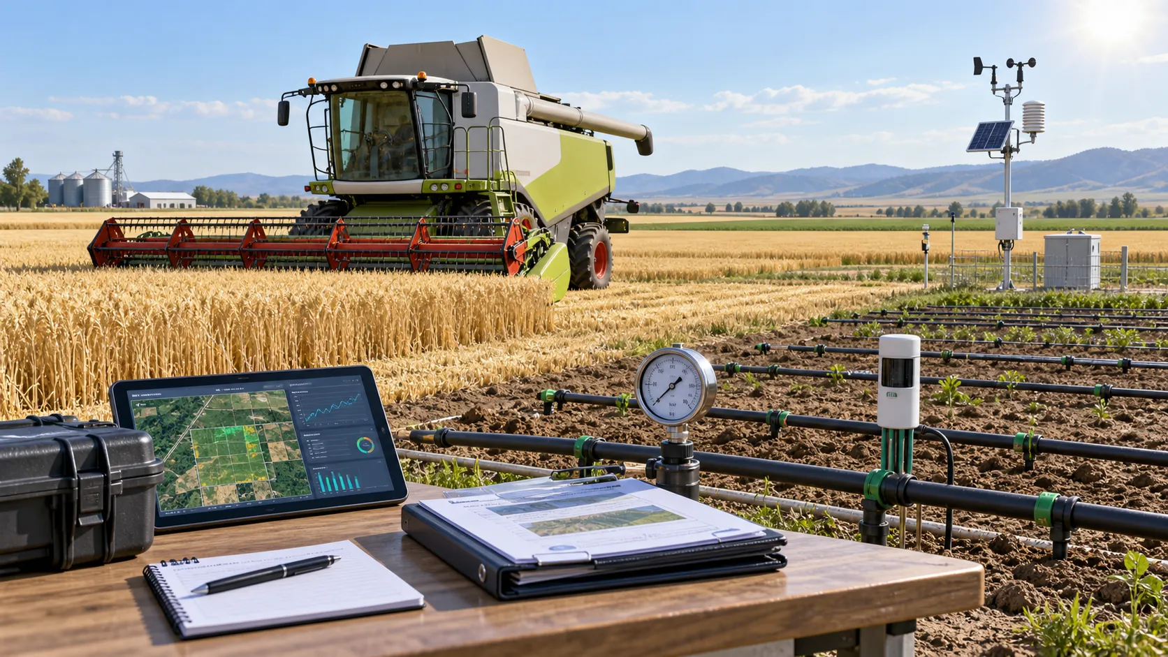
How to Evaluate Agricultural Product Information Sources for Reliable Farm Decisions
Agricultural product information reference guide: evaluate reliable farm data, verify claims, and make smarter machinery, irrigation, and crop decisions.
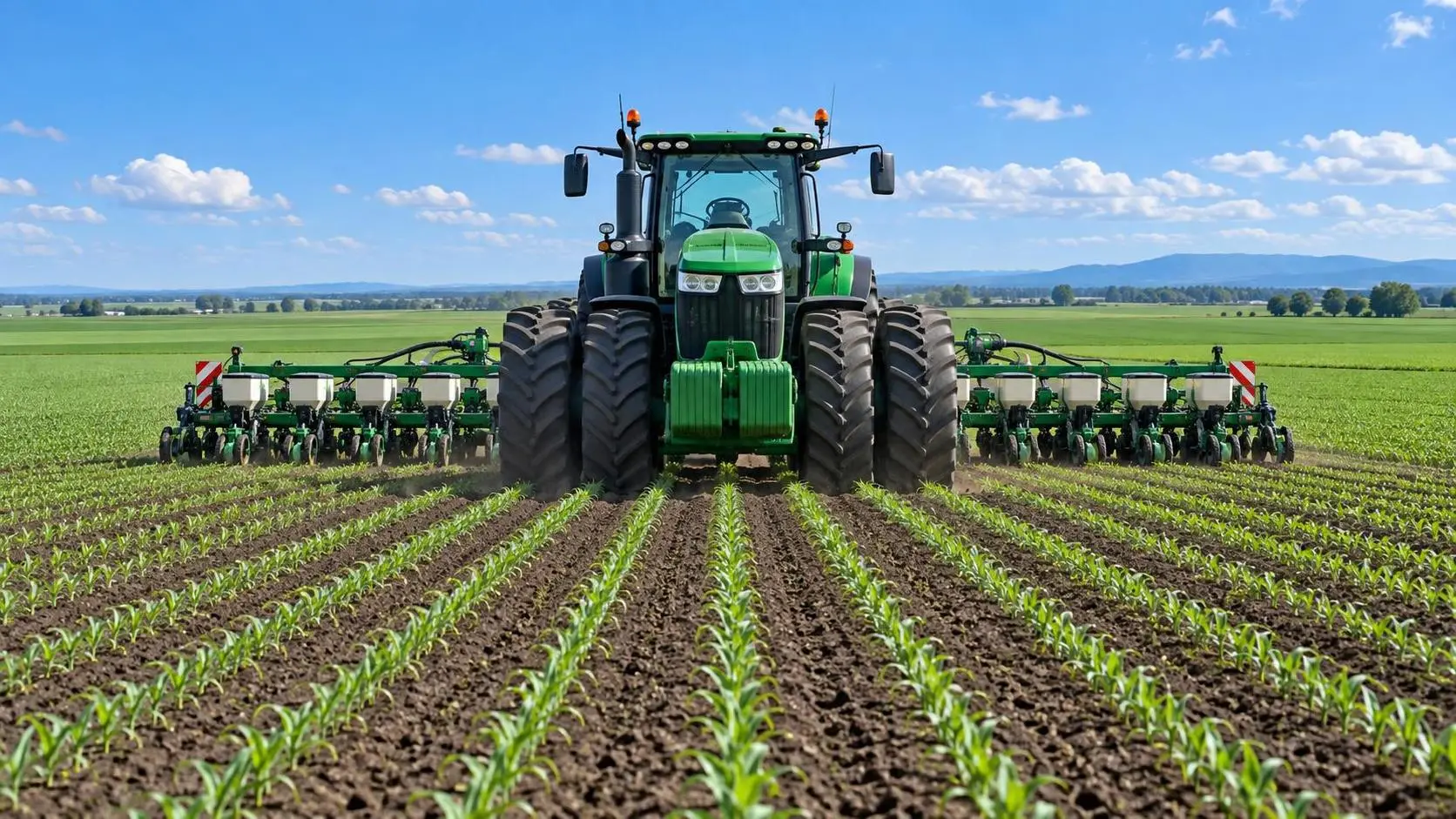
Farm Machinery Guide: Matching Tractor Horsepower and Implements to Farm Size
Farm machinery guide for tractors: match horsepower, implement width, hydraulics, traction, and fleet capacity to farm size for lower costs and reliable field performance.
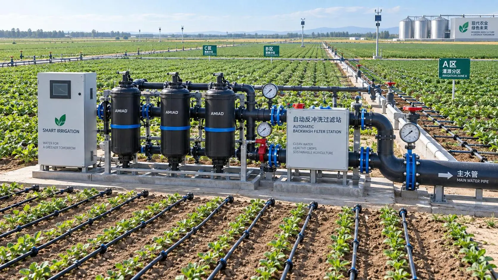
How to Evaluate Drip Irrigation System Manufacturers for Large Farm Projects
Drip irrigation systems manufacturer evaluation guide for large farms: compare hydraulic design, filtration, quality control, scalability, delivery, and support.
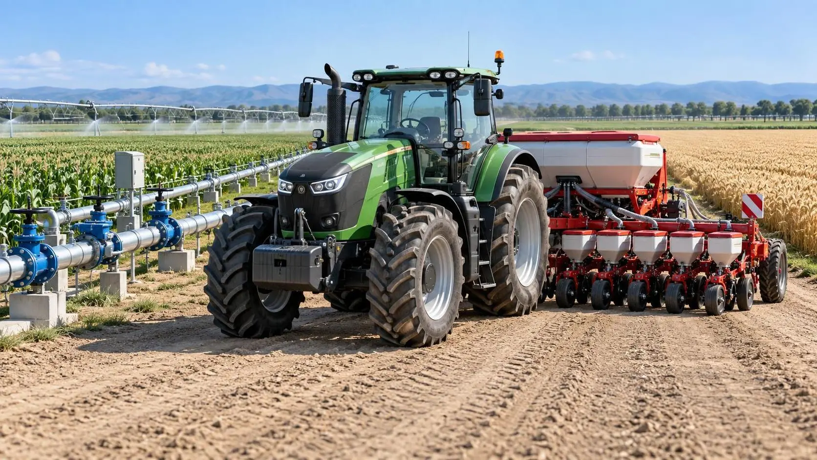
Specification Planning: A Practical Framework for Defining Equipment Requirements
Application guidance for specification planning: define measurable equipment requirements, prioritize performance, and avoid costly procurement mistakes.

How North American Farms Can Select Crop Monitoring Systems by Acreage and Connectivity
Crop monitoring systems North America: learn how to match acreage, connectivity, sensors, and data workflows for reliable, actionable farm decisions.

Where to Find Reliable Product Information for Comparing Farm Equipment
Product information resources agriculture buyers can trust: compare farm equipment with technical specs, manuals, field data, dealer support, and lifecycle insights.
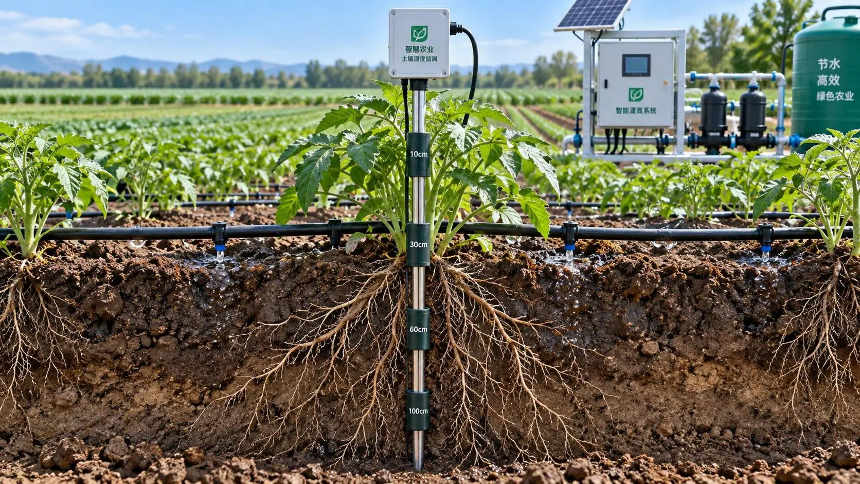
Selecting Real-Time Soil Moisture Sensors for Irrigation Zone Control
Soil moisture sensors real time: learn how to select reliable probes, optimize zone control, improve irrigation decisions, and scale precision water management.
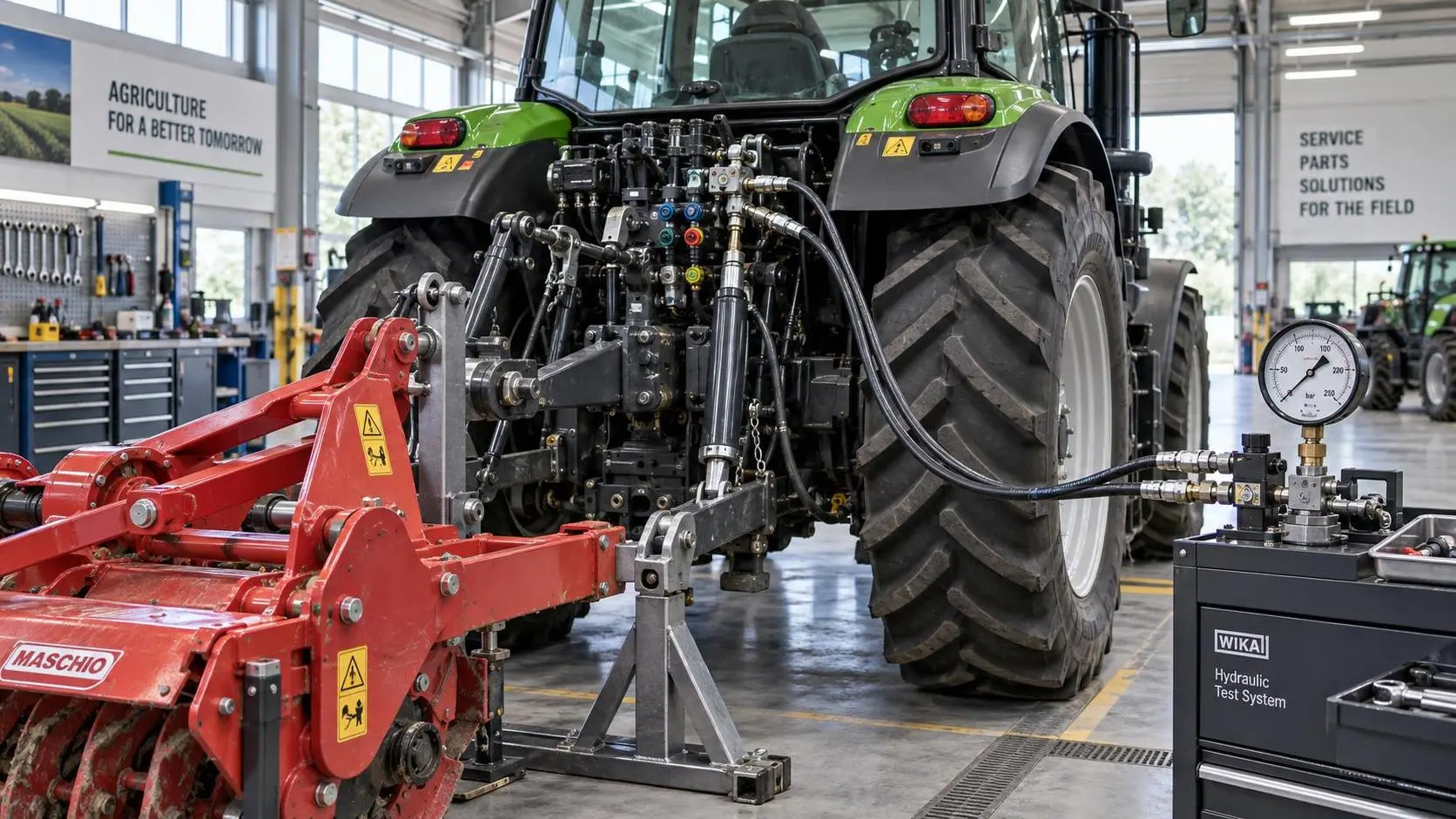
Tractor Hydraulic Systems Troubleshooting: Diagnosing Weak Lift and Slow Implements
Tractor hydraulic systems troubleshooting made practical: diagnose weak lifts and slow implements with proven pressure, flow, valve, and oil-supply checks.
Related News
- 00
0000-00
What separates robotic automation providers for equipment production? - 00
0000-00
Which field data collection provider fits an agricultural robotics program? - 00
0000-00
How Autonomous Machinery for Crop Scouting Helps Growers Detect Field Issues Earlier - 00
0000-00
How to Evaluate Autonomous Machinery for Vineyards by Terrain, Tasks, and ROI - 00
0000-00
Brazil ANVISA Rule Requires Portuguese Risk Labels for Farm Robots
Popular Tags
Tractor Power Architect
Weekly Insights
Stay ahead with our curated technology reports delivered every Monday.